Close the UK’s connectivity gap with geospatial data
OS data helps you plan 5G connectivity with greater accuracy.
Overcome the UK’s digital divide with OS data
In telecoms, there’s a big focus on building out 4G and 5G coverage and hitting government initiatives such as Project Gigabit and the Rural Connectivity Accelerator to help close the connectivity divide. This requires precise, up-to-date location data.
With OS, you get nationwide, highly detailed data to help navigate planning constraints, strengthen decision making to avoid delays, and serve communities faster and more effectively. Accelerating fixed and wireless connectivity to support not-spot detection and resolution, understand population densities, create digital twin & 3D Data modelling and much more.
Boost the UK’s connectivity with OS data.
How can location data help your telecoms organisation?
Smarter 5G cell site decisions
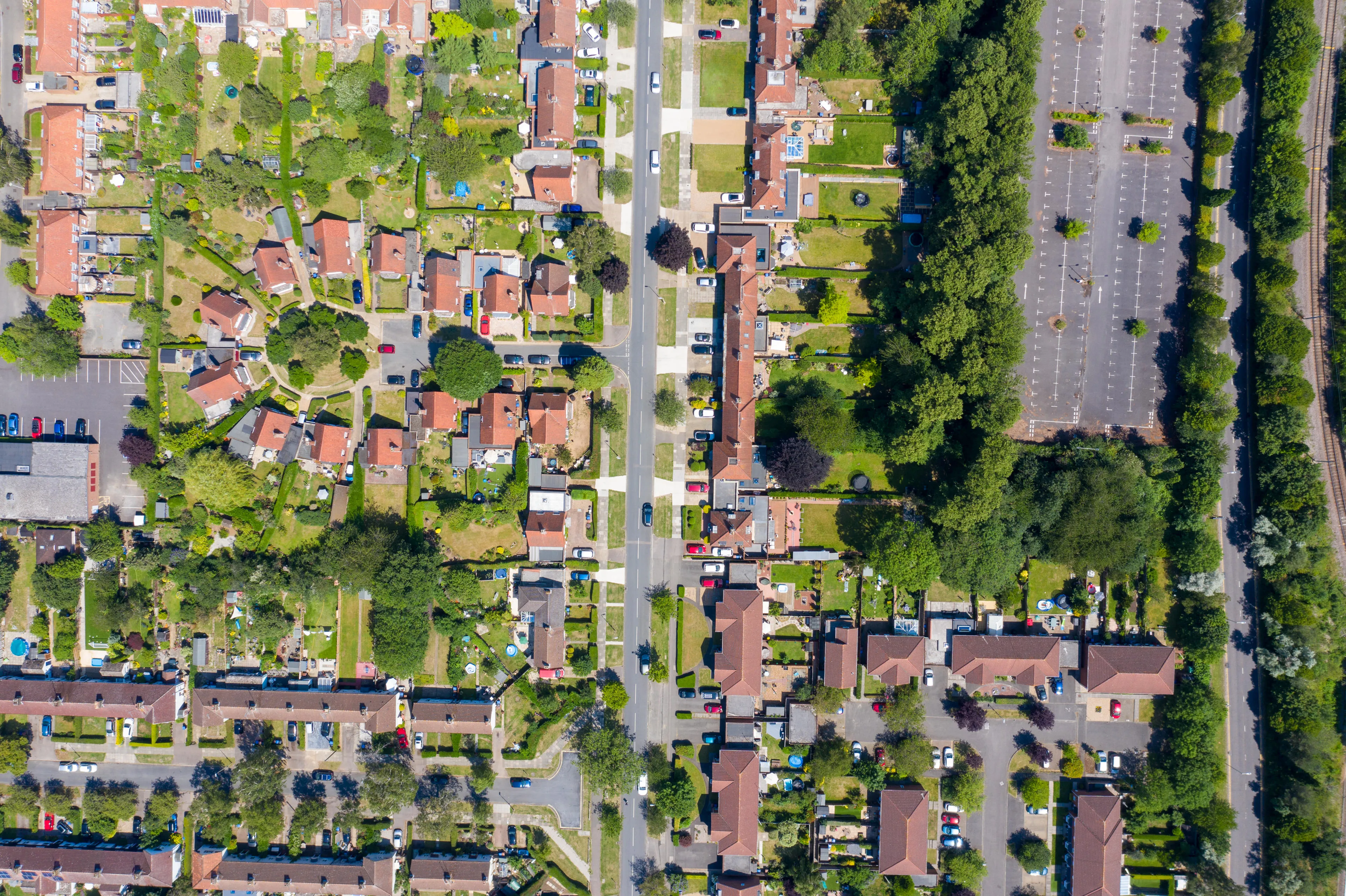
Accurate terrain, building height and street level data to support detailed planning for mast and small cell deployment.
Support not-spot detection
Detailed building attribution, such as the footprint, roof shape and number of floors, provides crucial insight to resolving not-spots in built up areas.
Overcome rural planning challenges
Up-to-date, authoritative OS data helps navigate constraints, avoid delays, and connect hard-to-reach areas faster.
Build the UK’s connected future with OS data
Learn how you can work with OS data to unlock faster, more accurate network rollout, from navigating planning constraints to faster deployment, and more effective delivery of services for improved customer experience.
Get in touch using this form. One of our specialists will contact you to explore how OS data and our network of Partners can help.