A new model of England’s motorways and A roads will lead to safer and more efficient journeys
The launch of the National Highways Network Model marks the start of a strategic partnership with Ordnance Survey
Press Office
The model contains critical and timely information about the SRN in nearly 30 different layers. This includes attribution data about the names, location, lanes and widths of motorways and A roads, transport links and nodes, and height and weight vehicle restrictions. There is also a built-in mechanism for continuous improvement through user feedback and reporting of data quality issues. The model also ensures common geography across five recently-released NH APIs which hold datasets such as road and lane closures and diversion routes.
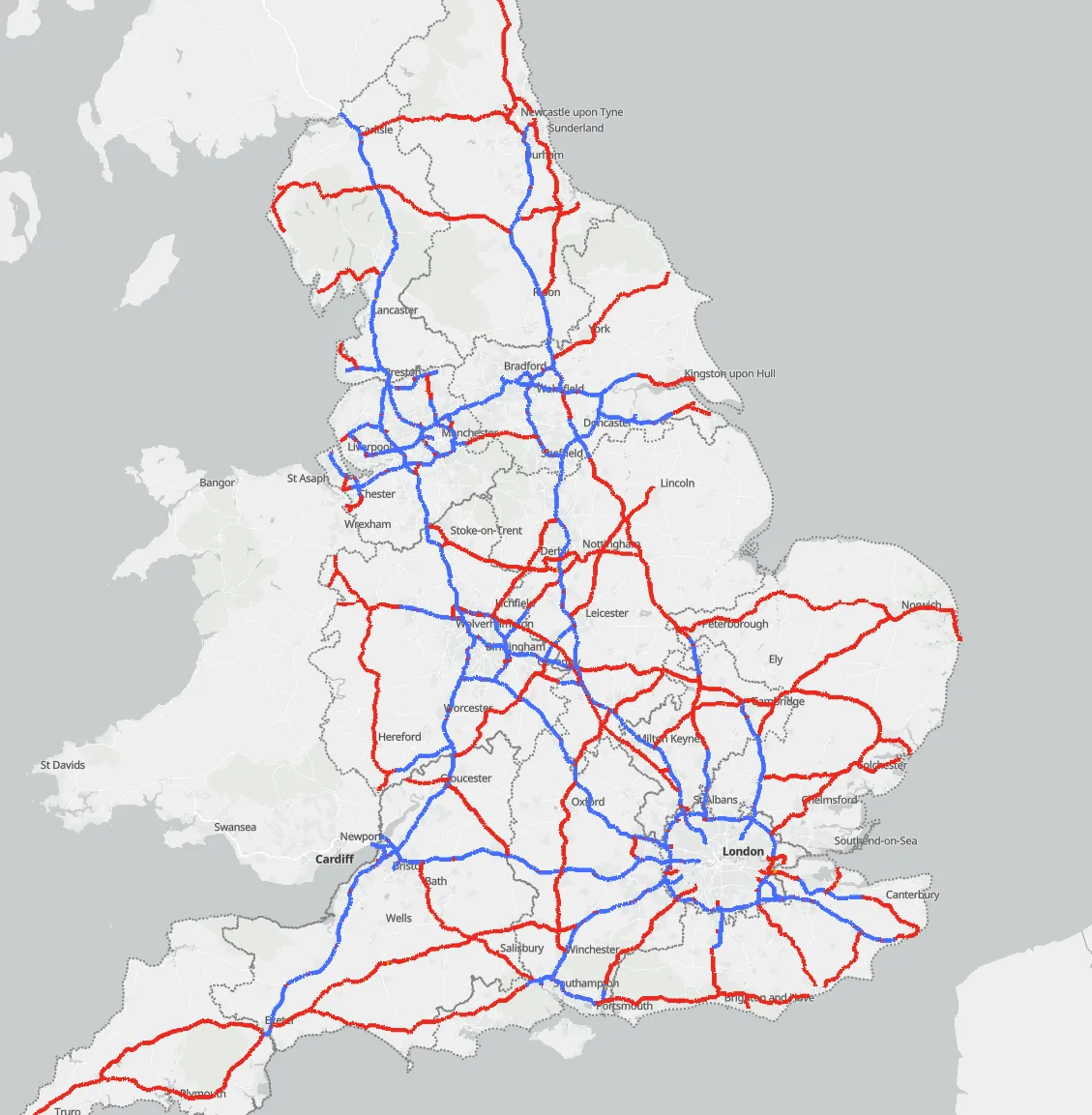
The SRN is a critical part of the nation’s infrastructure, supporting the economy and productivity. It comprises more than 4,500 miles of motorways and major A roads which are at the core of the national transport system. It is the most heavily used of the national road network and carries a third of all traffic and two-thirds of all freight. NH has estimated that delays on England’s roads, including the SRN, cost around £3 billion per year. Accurate data about these roads is fundamental to the efficient movement of people, goods and suppliers.
The Network Model is derived from OS MasterMap Highways Network data, enriched with additional NH datasets. While drawing on previous versions of network models, this is the single, most trusted and authoritative version to date. The collaboration has been made possible by a new strategic partnership between NH and OS. Next steps in the partnership include a secondment from OS to NH to work on future enhancements of the Network Model.
The Network Model has been released publicly via the Digital Lab Open Data Hub to support the commercial and public sectors in making informed decisions and to support innovation on the SRN. With the model as its foundation, the Digital Lab data services provide government and local authorities with better visibility of events, such as roadworks on the SRN, including where these impact local authority roads. This will help improve the management of congestion due to closures and diversions and support the economy by enabling the freight and logistics industry to more accurately predict journey times and deliver goods and services safely.
Car manufacturers will also benefit from the provision of updates on signage, speed restrictions, hazard warnings and road closures fed directly into in-vehicle navigation systems, alongside other navigation apps. This allows the planning of safer and more efficient journeys for road users. Stakeholders such as academics and charitable organisations will also benefit from having a single, authoritative model and geospatial data for their research.
"Ordnance Survey is the most authoritative provider of national location data, providing us with the strongest foundation for this most comprehensive model of the Strategic Road Network to date. Our partnership is a major milestone for National Highways as we evolve into being a customer services provider and provide connected data services to external organisations that improve the customer journey. By making the Network Model data publicly available, we empower our partners such as wayfinders, local authorities, and researchers to enhance services, improve efficiency, and innovate."
John Kimmance, Chief Customer Officer at OS, said: “The efficiency of the Strategic Road Network plays a vital role in driving economic growth, maintaining a balanced and resilient transport system and supports environmental and sustainability goals by potentially helping to reduce congestion and emissions. Working with Ordnance Survey to use the most trusted and accurate data as a foundation in the new Network Model, National Highways has developed an innovative tool designed to enhance journey safety and efficiency for all users, while also supporting cost-effective planning across both public and commercial sectors.”
As part of an exemption process to publish data publicly under the Open Government Licence, OS approved the Network Model for release to the public. The Network Model is available now via National Highways Open Data, data.gov, and Living Atlas.
For further information about the National Highways Network Model please contact Digital Lab Geospatial at spatialportal@nationalhighways.co.uk.
Sharing the latest news about OS. We can license you to use OS maps in print, online and film format. For more information and resources for journalists, bloggers and media professionals, email pressoffice@os.uk or call 023 8005 5565.
Try this product with free sample data
Download a small area of OS MasterMap Highways Network - Roads.
Find more news
- Transportation infrastructure
- OS
- Partners
- PSGA members
- Transport
- Government and public sector
- Economy and business
- Great Britain
- United Kingdom