News
The latest news and press releases from Ordnance Survey
Filters (1)
Showing 4 results
- Page 1
- News
- News
- News
- News
OS drones to aid Lowland Rescue in major searches for missing people
Post-flight image analysis using the donated equipment to play major role in searches for high-risk vulnerable people.
Ambulances set to benefit from new in-cab mapping technology
A new life-saving in-cab navigation application, underpinned by Ordnance Survey mapping, is being rolled out across all Ambulance Trusts in Great Britain.
Stinky Bay? How local names can protect lives on the coast this summer
Ordnance Survey (OS) and Maritime and Coastguard Agency (MCA) are ready to help protect people visiting the coast this summer.
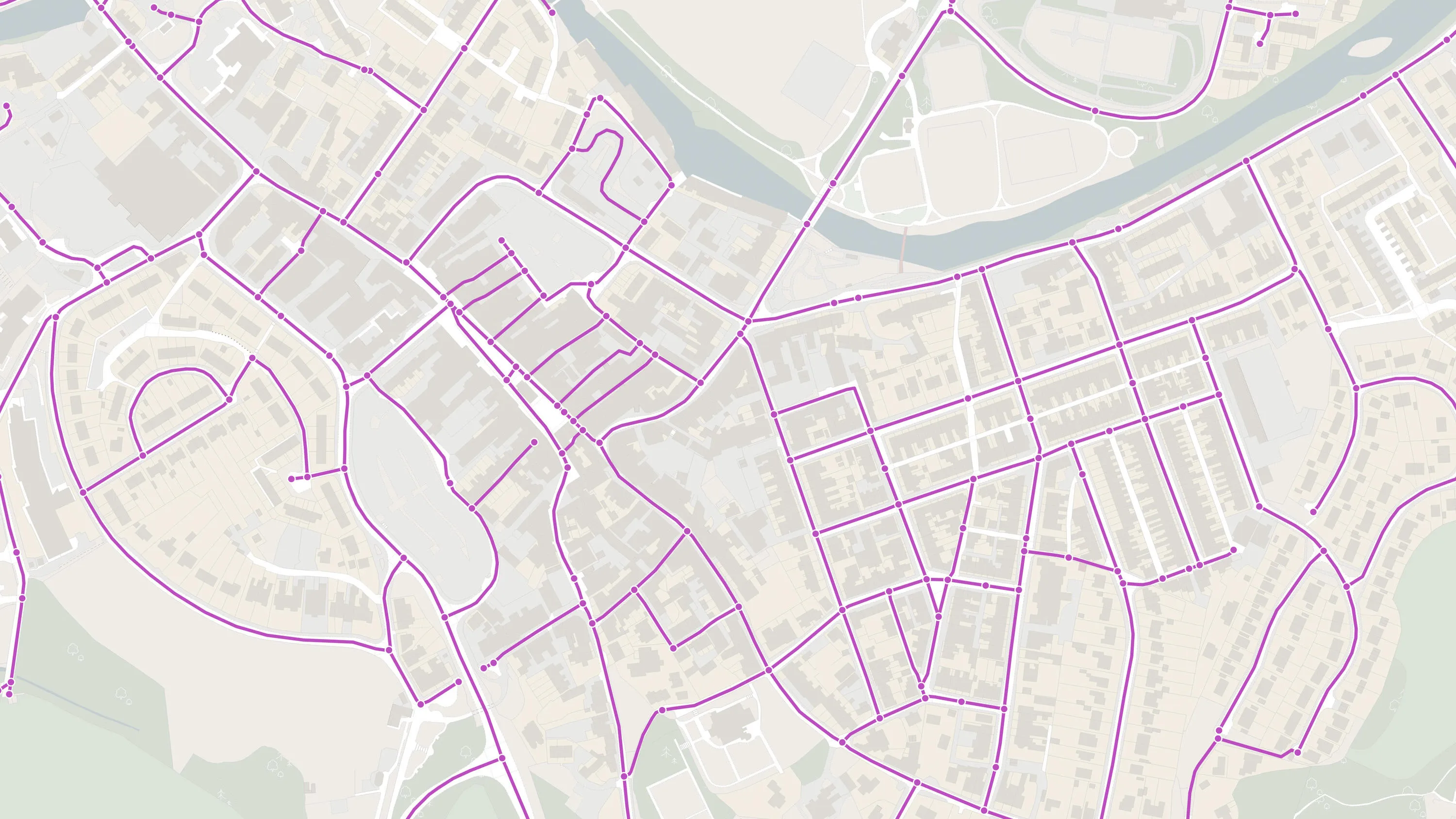
Using Detailed Path Network in an Emergency Response
In this month’s article, we will be continuing with the theme of PSGA available products with a focus on Detailed Path Network Layer.


