Search for OS data products
Search below to find the best geospatial data product for you
Filters (1)
- Page 1

Access a fully routable network of Great Britain, including hazards, restrictions, and speed limits, for in-depth route planning and asset management.

OS Multi-modal Routing Network is a fully connected network dedicated for the multi-modal routing of people and goods, designed for use in routing applications.

An open dataset of the high-level view of the road network in Great Britain.
A navigable road network dataset with detailed information about planned roads and roads under construction for Great Britain.

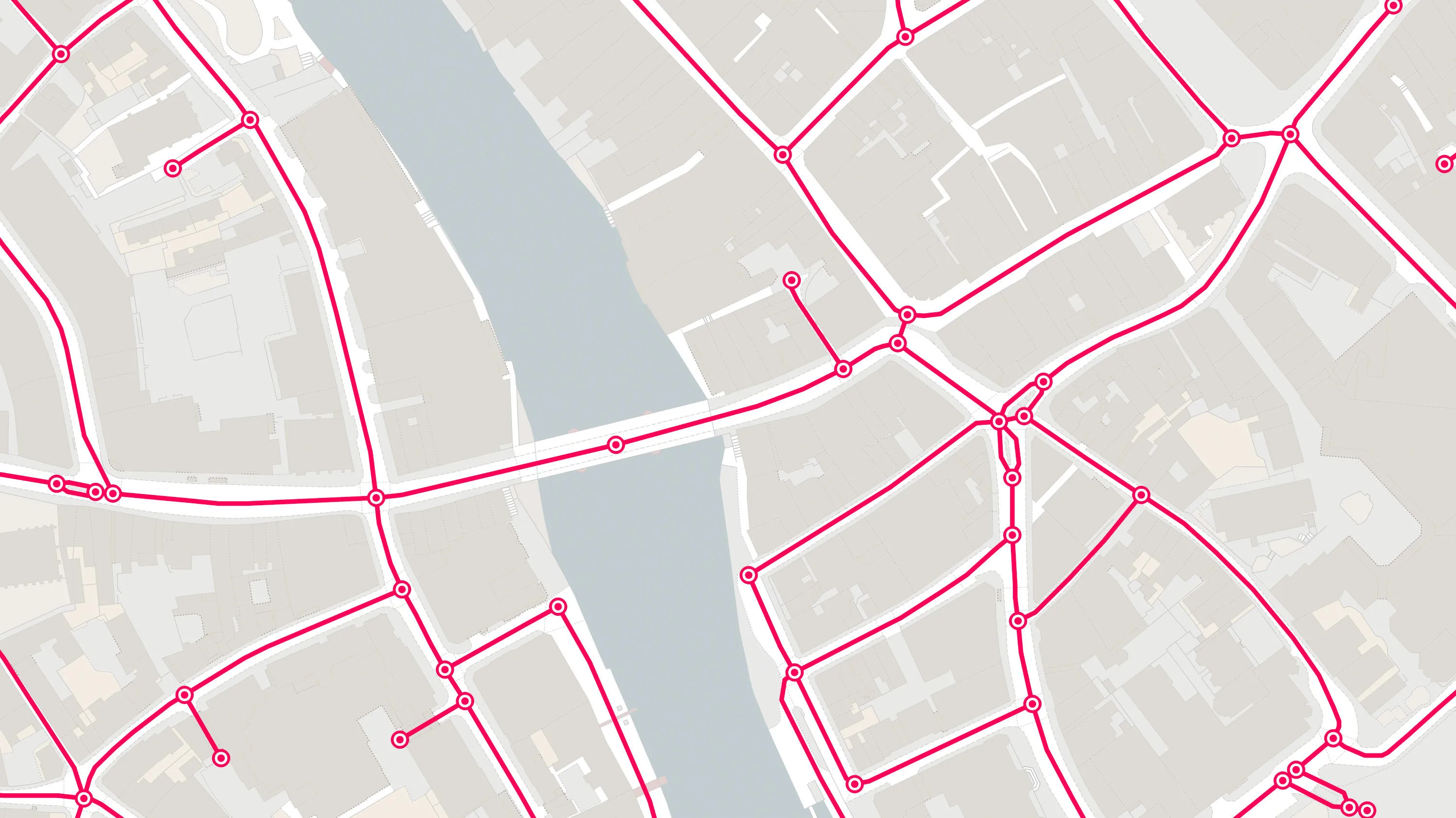
OS MasterMap® Highways Network is the most complete, detailed and accurate navigable road network dataset for Great Britain.

A visual representation of Great Britain's transport networks including road, ferry, rail, and path networks, and the connectivity between them all.

A path network dataset for Great Britain showing who is responsible for all the footpaths through towns and cities.

An open dataset containing all USRNs from OS MasterMap Highways Network with a simplified line geometry.