Blog
Read location data and geography related stories and commentary
Filters (1)
Page 1
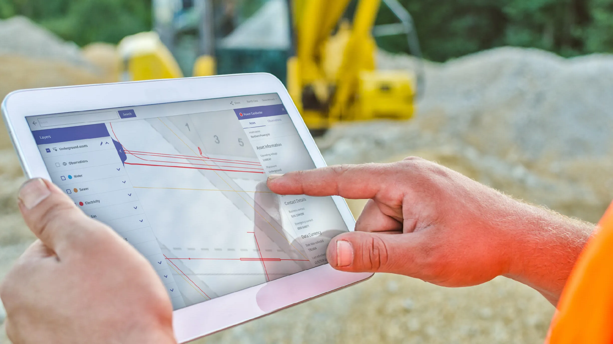
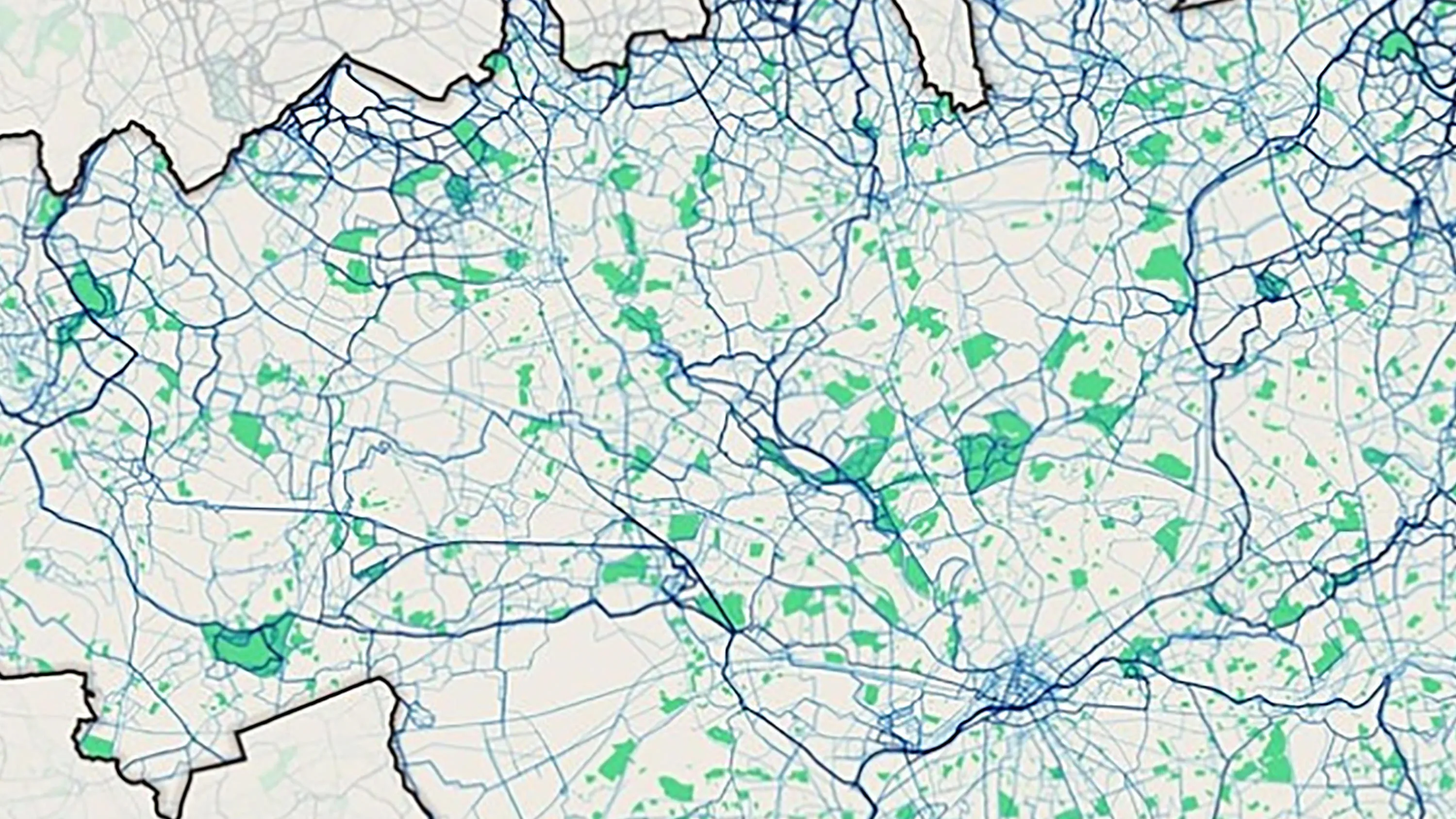
The next phase in NUAR’s development is here
NUAR has entered the latest important phase, moving into 'public beta' on the journey to being operational by end of 2025 and it will include Openreach data.
- Blog
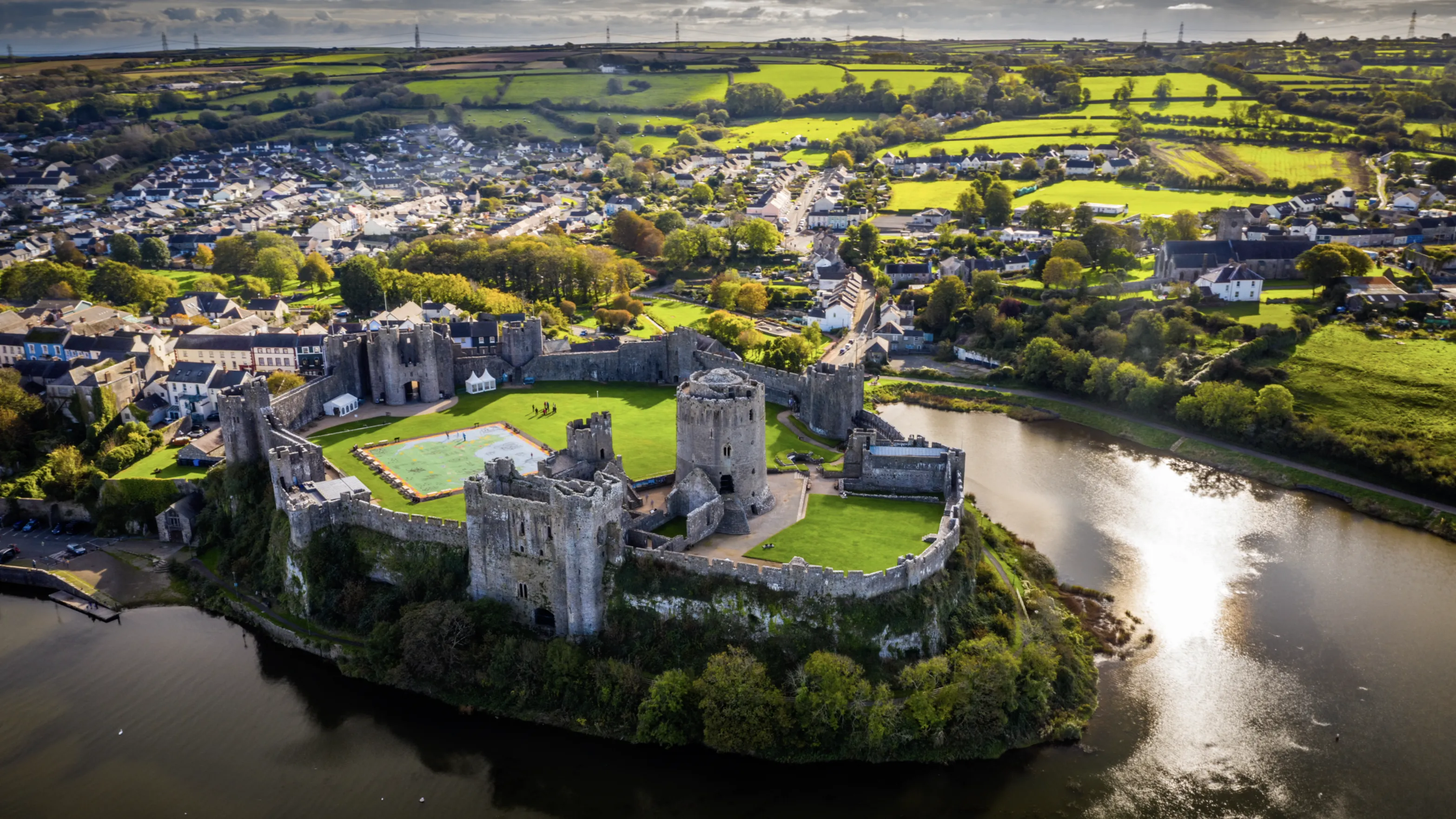
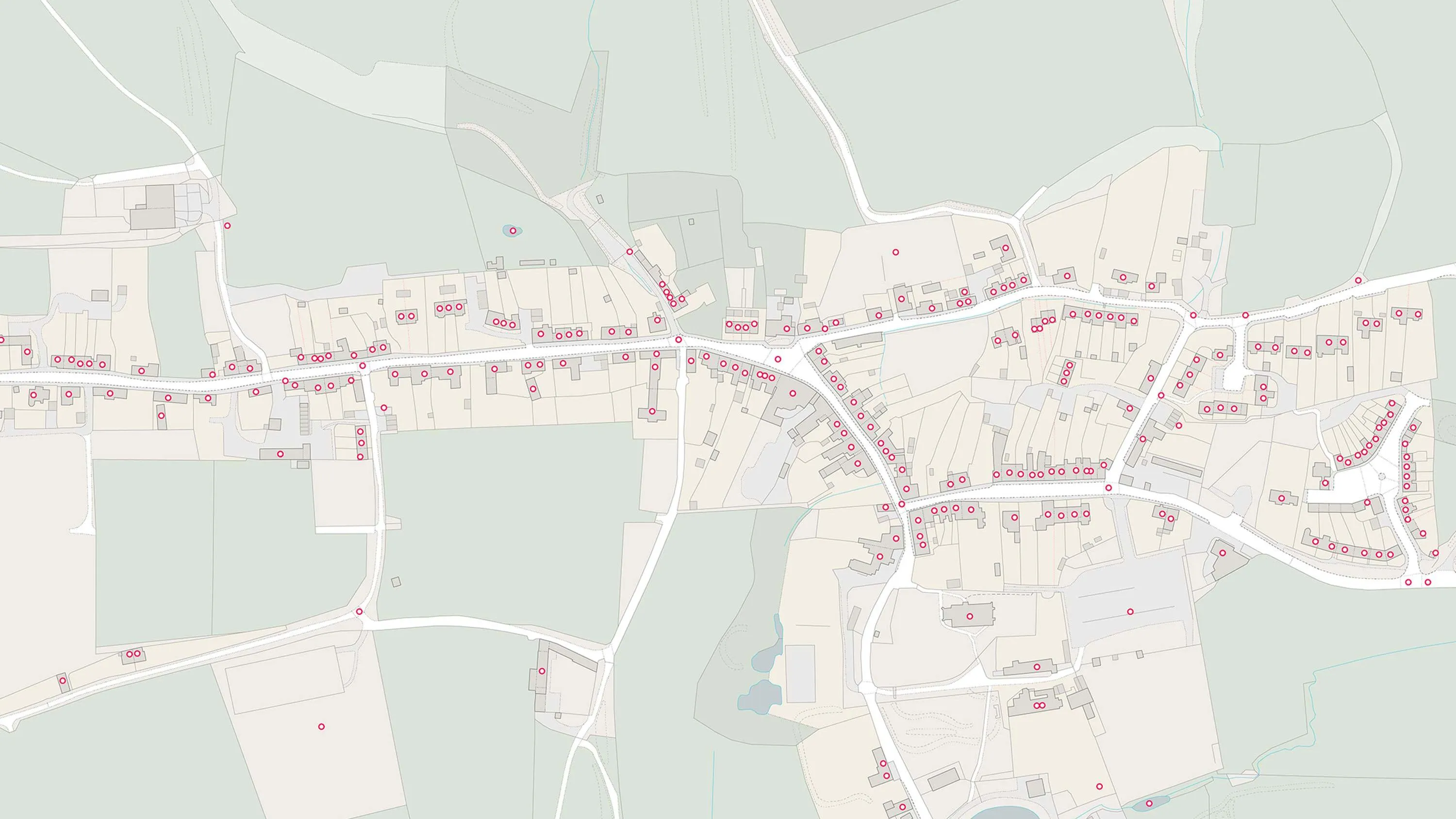
How Ordnance Survey is making an impact in Wales
Geospatial data from OS is a critical tool for the Welsh Government, helping teams deliver a range of improved services in health, transport and more
- Blog
A long-awaited moment of Pride
An OS Copywriter shares his story of growing up confused and unsure, and seeing how things have changed and improved in the LGBTQ+ community.
- Blog
Pride at OS: My story
An OS surveyor shares her story of identifying as bisexual, and growing up in a time of misrepresentation, and Section 28.
- Blog
The latest PropTech start-up off the Geovation conveyor belt
How authoritative location data and Geovation's Accelerator Programme helped PropTech start-up HomeFinder thrive.
- Blog
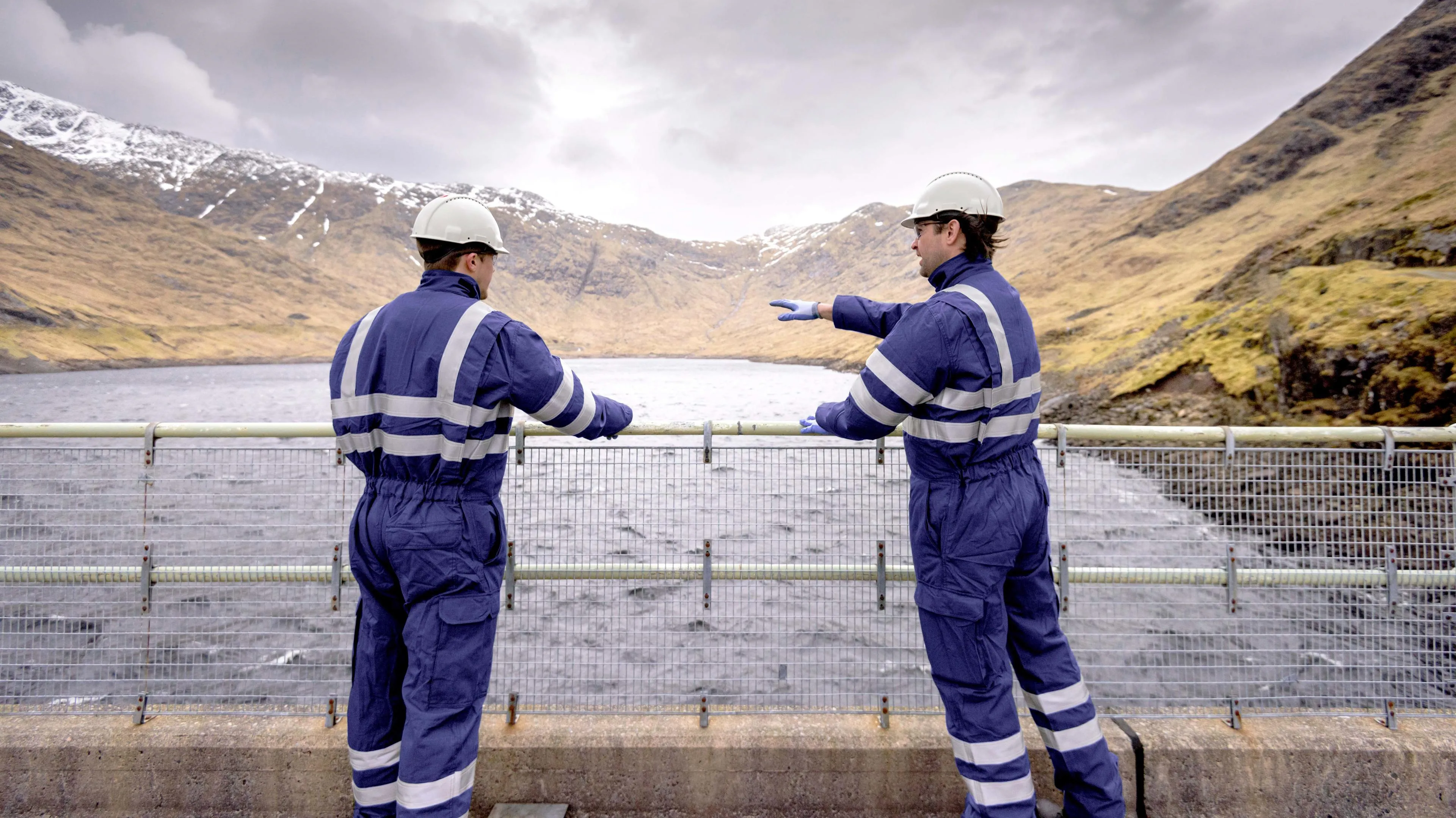
Harnessing the true potential of data can help utilities and telecoms to control today, and shape tomorrow
Utilities and telecoms organisations can harness location data to identify and plan for the biggest opportunities of tomorrow.
- Blog
What is spatial data?
Spatial data is information about where observations are in relation to each other.
- Blog
How connecting land with sea data helped map Pembrokeshire’s sunken shipwrecks
Combining OS and UK Hydrographic Office data led to the creation of a fascinating map of Pembrokeshire and its famous shipwrecks.
- Blog
UPRNs and the property lifecycle
UPRNs can improve address data management for addressable locations, throughout every stage of the property lifecycle.
- Blog