Blog
Read location data and geography related stories and commentary
Filters (1)
Page 1
The next phase in NUAR’s development is here
NUAR has entered the latest important phase, moving into 'public beta' on the journey to being operational by end of 2025 and it will include Openreach data.
- Blog
Trends in 2022 for geospatial and location technologies
John Kimmance predicts trends for 2022 in geospatial and location technologies.
- Blog
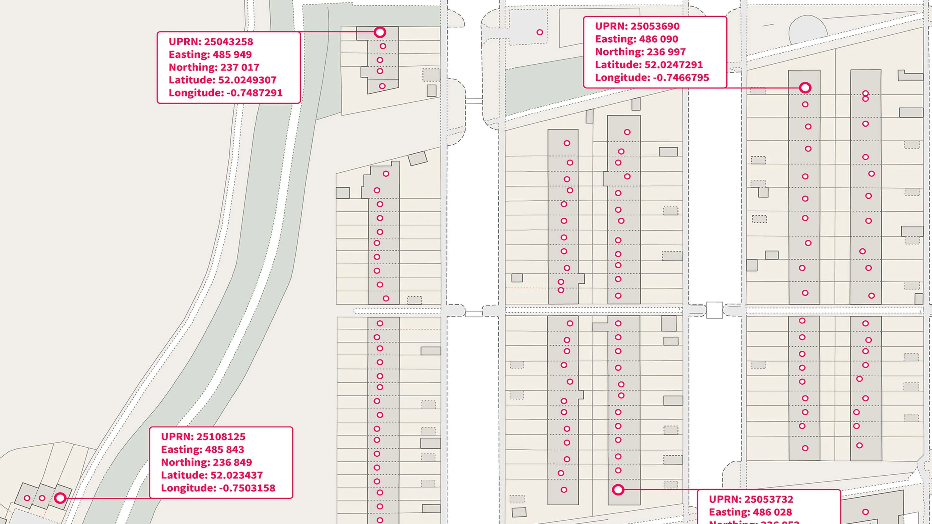
Ordnance Survey Open Identifiers Policy enables EPC data release to incorporate UPRNs
Read how the Department of Levelling Up, Housing & Communities (DLUHC) has benefited from incorporating the UPRN into its data release.
- Blog
BEIS explores using geospatial data for EV charge point mapping
BEIS advanced analytics team used geospatial data to plot EV charge point mapping.
- Blog
New ways to access and share data boosts public sector and small businesses
Britain’s world-leading location data with richer data, new ways to access it, and new freedoms to share it.
- Blog
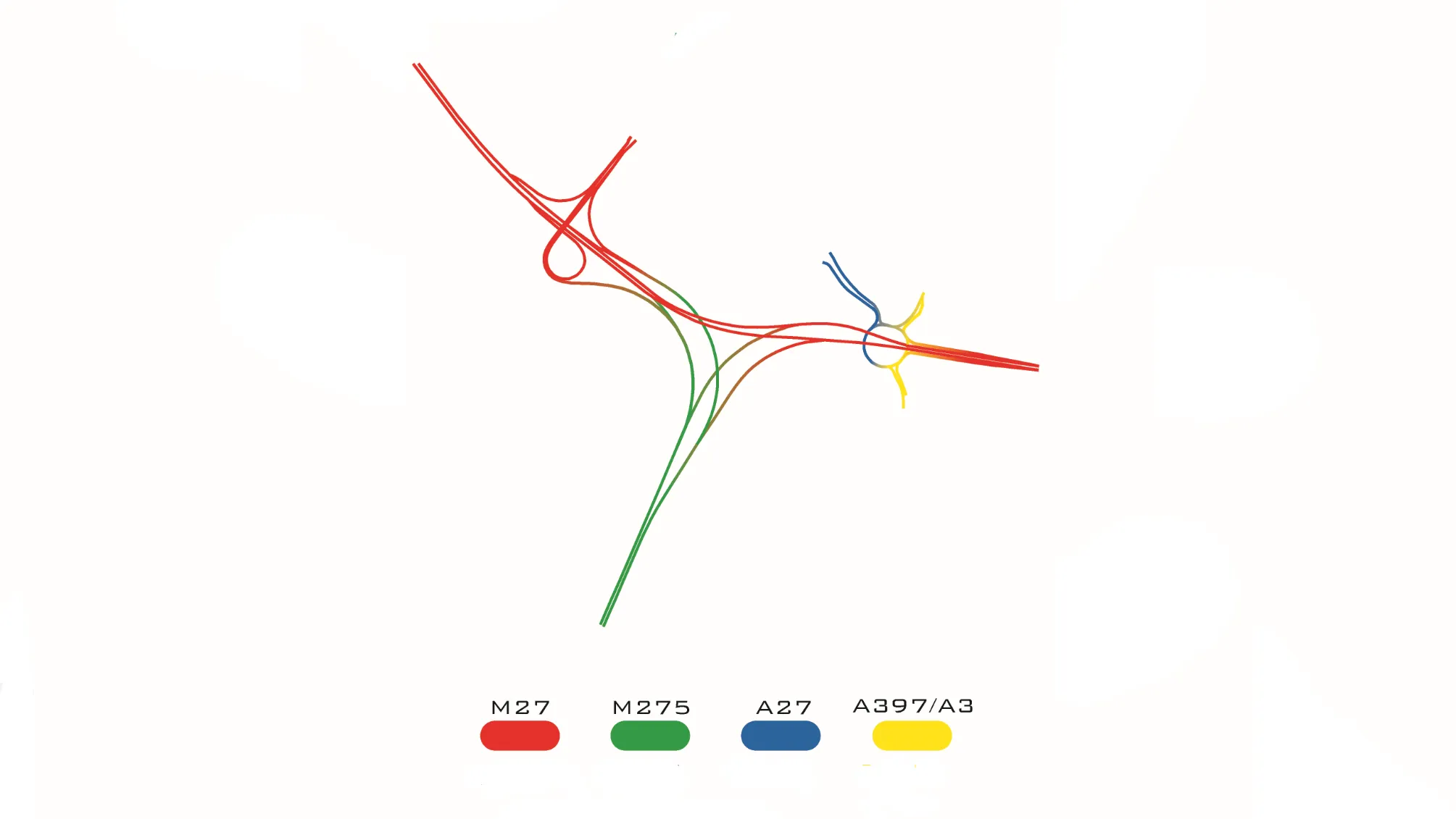
Britain’s most complex motorway junctions
Lucie Woellenstein, Graduate Data Scientist here at OS, explores Britain’s most complex motorway junctions through data visualisation.
- Blog
Ordnance Survey and Mobileye begin trials to map Britain’s roadside infrastructure
Ordnance Survey and Mobileye, an Intel company, have launched roadside infrastructure trials.
- Blog
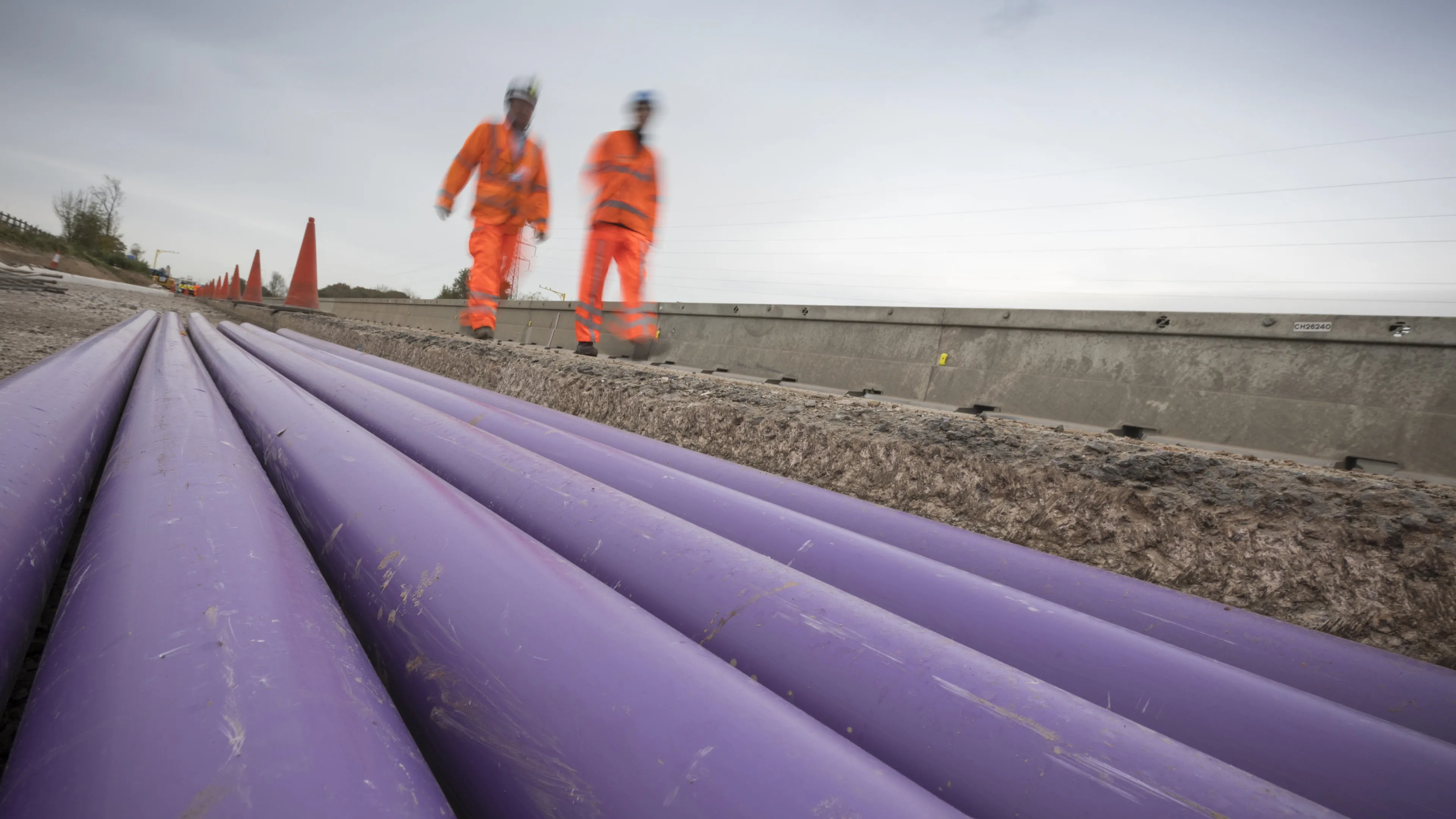
Ordnance Survey and partners to pilot underground map of the North East
A digital map of underground pipes and cables is to be created, to help save lives and reduce the disruption caused when they are struck by mistake.
- Blog