Reliable and detailed location information can help transform informal settlements into economically active parts of the city. Linking other data-driven initiatives, geospatial information is a critical enabler for nations seeking to support evidence-based policy setting and enable innovative uses of government data to solve problems and provide new services.
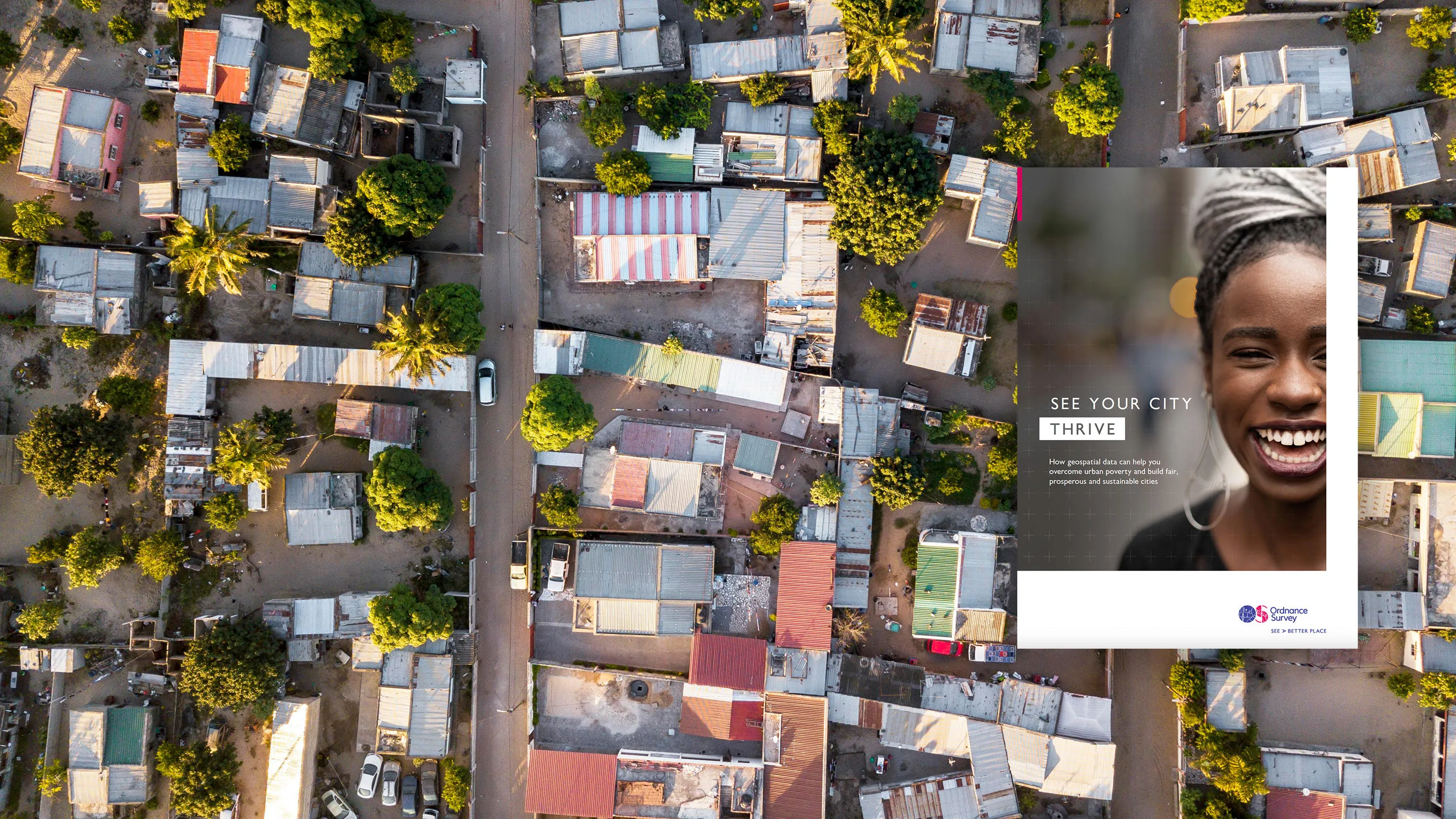
See your city thrive
Urbanisation
See how geospatial data can help overcome urban poverty and build fair, prosperous and sustainable cities.

Geospatial data is the most powerful tool available to governments in supporting sustainable urbanisation.
Download our report to find out how geospatial data can help your city thrive
This report is part of a series from Ordnance Survey to help you apply geospatial information to realise your nation's potential.
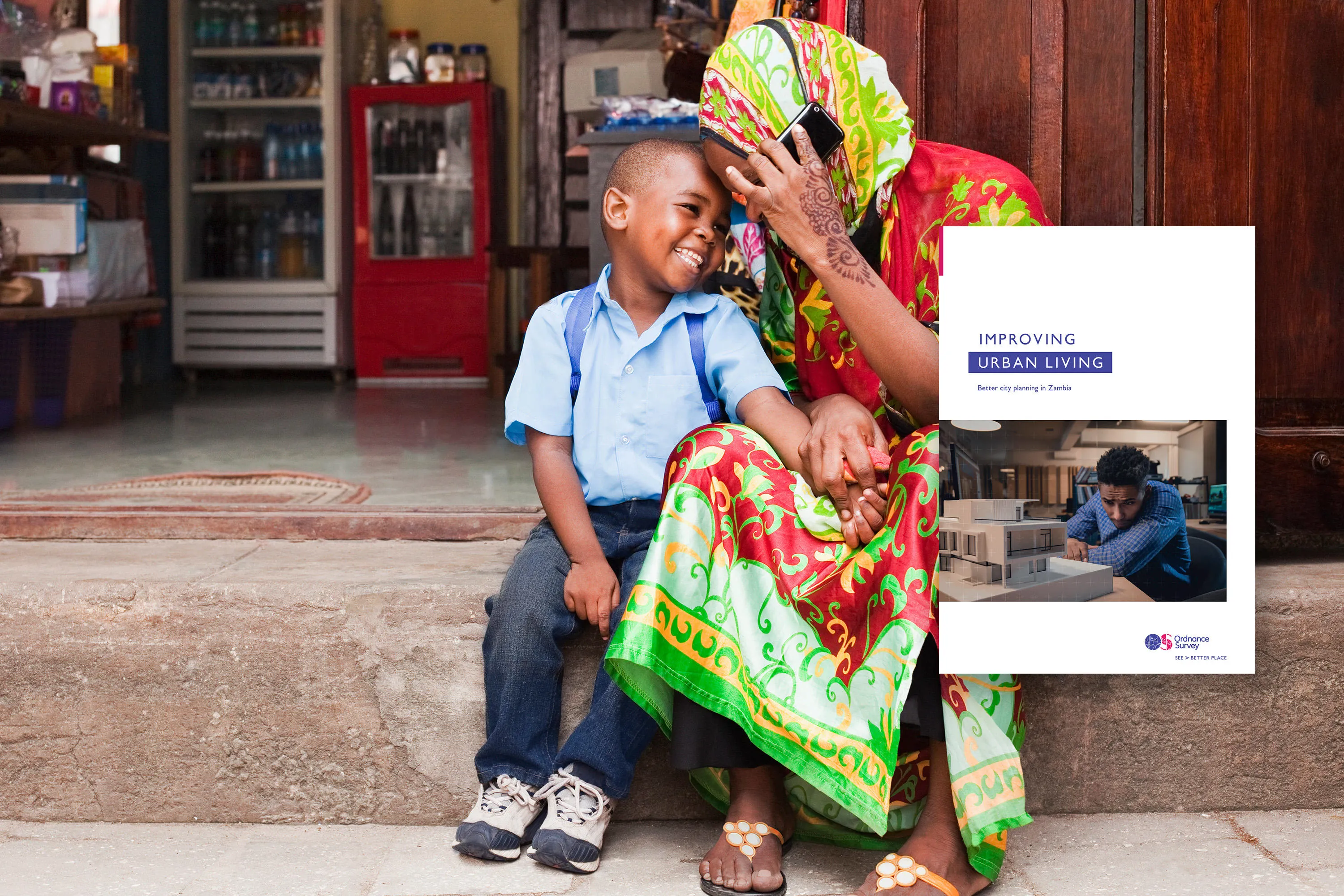
Download our case study on improving city planning in Zambia
Ordnance Survey and its partners the International Growth Centre and Commonwealth Association of Architects, produced detailed map data in a few weeks, find out how.
Read more insights
Using AI to map African cities to improve infrastructure at low cost
Technology used to map Lusaka, Zambia, is replicable in other African cities to upgrade informal settlements and achieve sustainable urban expansion.

Building a better world with sustainable urban development
Over half of the world's population now live in cities, with numbers expected to double by 2050. Rapid urbanisation puts pressure on freshwater supplies, sewage systems. the living environment and public health.
See how Ordnance Survey has helped make a difference
Location-based data provides a mine of information for Ethiopia
Tapping into international geospatial expertise to support economic growth and ensure a prosperous future.
Namibia improves land management processes to accelerate sustainable economic growth
Namibia is seeking to accelerate sustainable economic growth across the nation by strengthening the way it manages land administration.
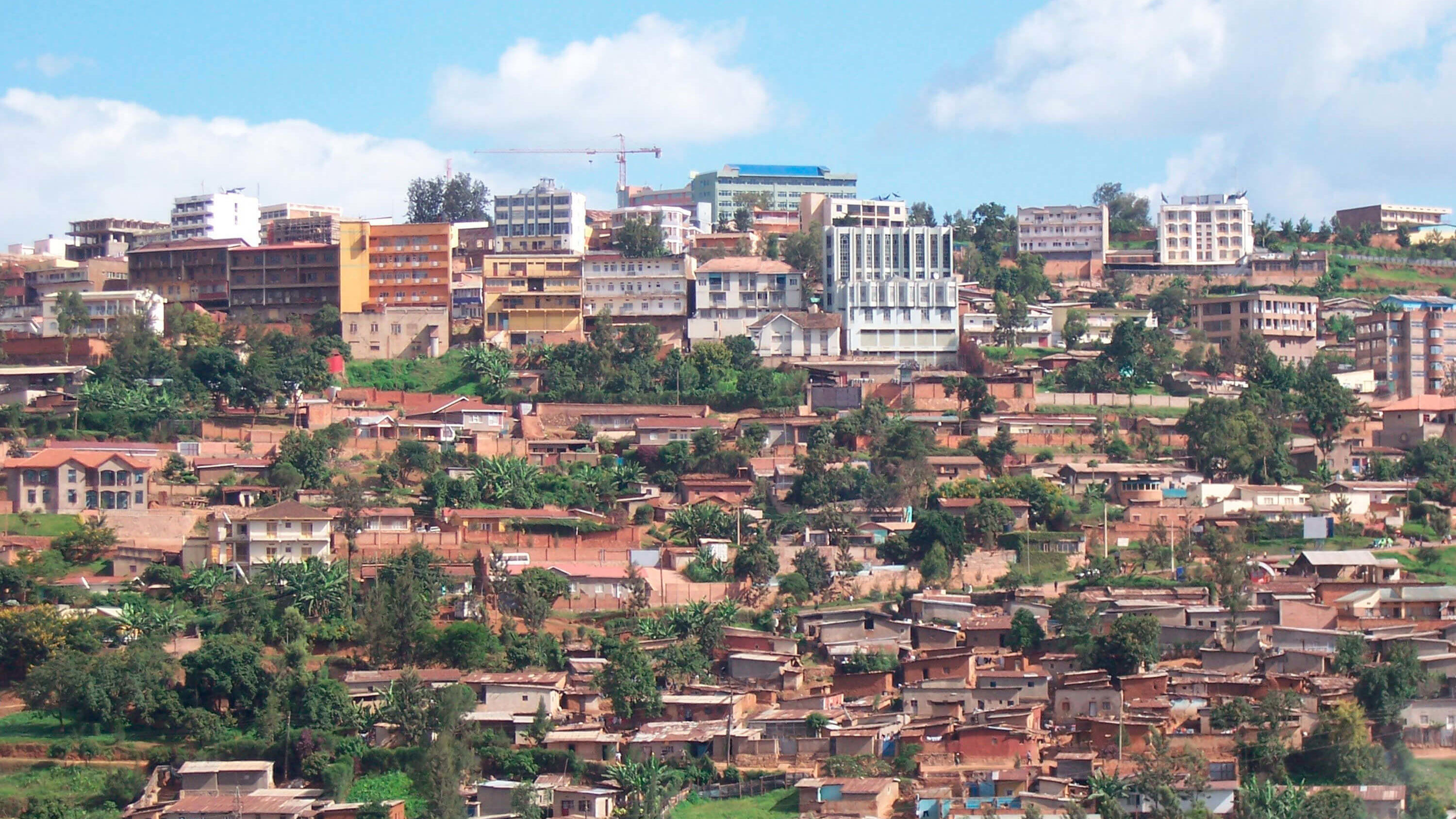
Ordnance Survey modernising Rwanda's mapping operations
Rwanda Natural Resources Authority (RNRA) has a national-level responsibility to provide geospatial information.

Related information
Grow your economy
Drive economic growth, technological innovation, and sustainable development with geospatial information.
Land ownership
Geospatial data can help you establish land rights to fuel socio-economic growth and achieve a more sustainable and equal nation.
Resilience
How location data can help safeguard against natural and human threats.
Sustainability
Meet your sustainable development goals. Use geospatial data to put sustainable development measures in place and help protect your people, the planet and prosperity.
Citizen-centred city
How geospatial data can help you build a smart, citizen-centred city.