Lending decisions come down to more than the individual or business entity and their financial state – and you might not have all the insights you need to feel fully informed or confident to move forward.
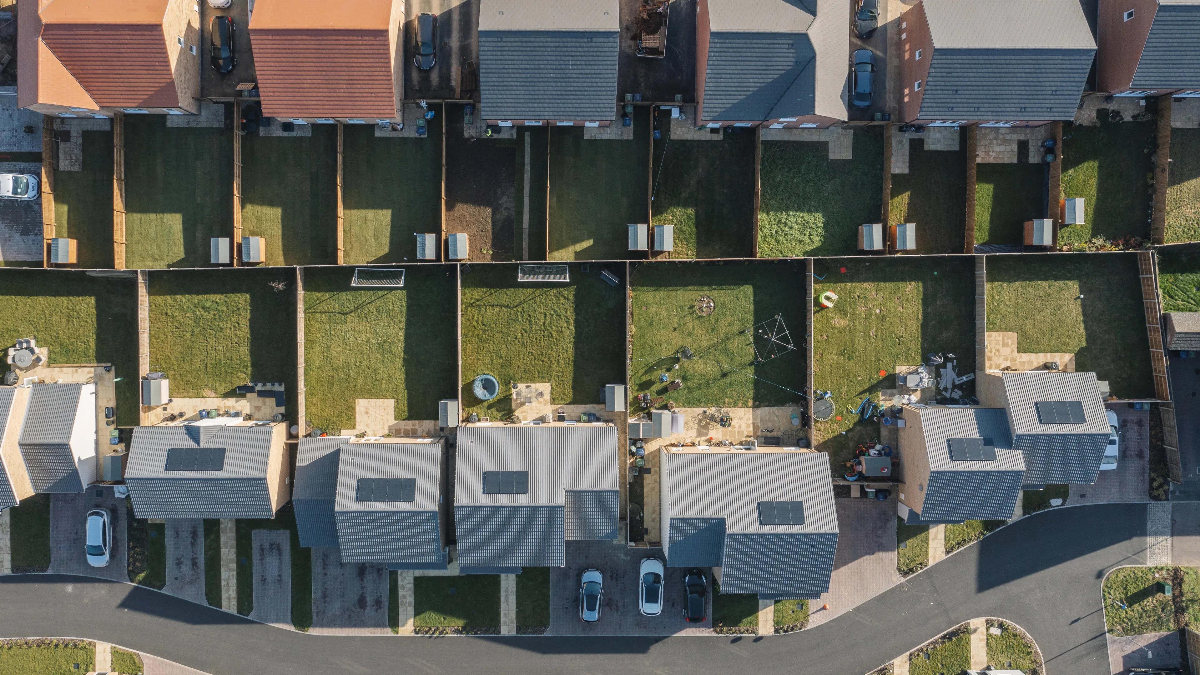
With Ordnance Survey (OS), you can remove the uncertainty, with accurate geospatial data for banking that fills in the blanks. From property attributions, like the presence of a basement or solar roof, to nearby environmental factors, and the lifecycle stage of a property for condition and address verification. Better analyse property values by understanding property risk using a GIS (geospatial information system) embedded into your process.
With mapping for financial services delivering the valuable insights you need, you can make more confident decisions. Give customers an answer, faster. And avoid missed opportunities – without increasing risk.


