News
The latest news and press releases from Ordnance Survey
Filters (0)
- Page 1
- News
- News
- News
- News
- News
- News
- News
- News
- News

Ordnance Survey recognised for leadership within the global geospatial sector
Ordnance Survey has been awarded National Geospatial Agency of the Year by Geospatial World.
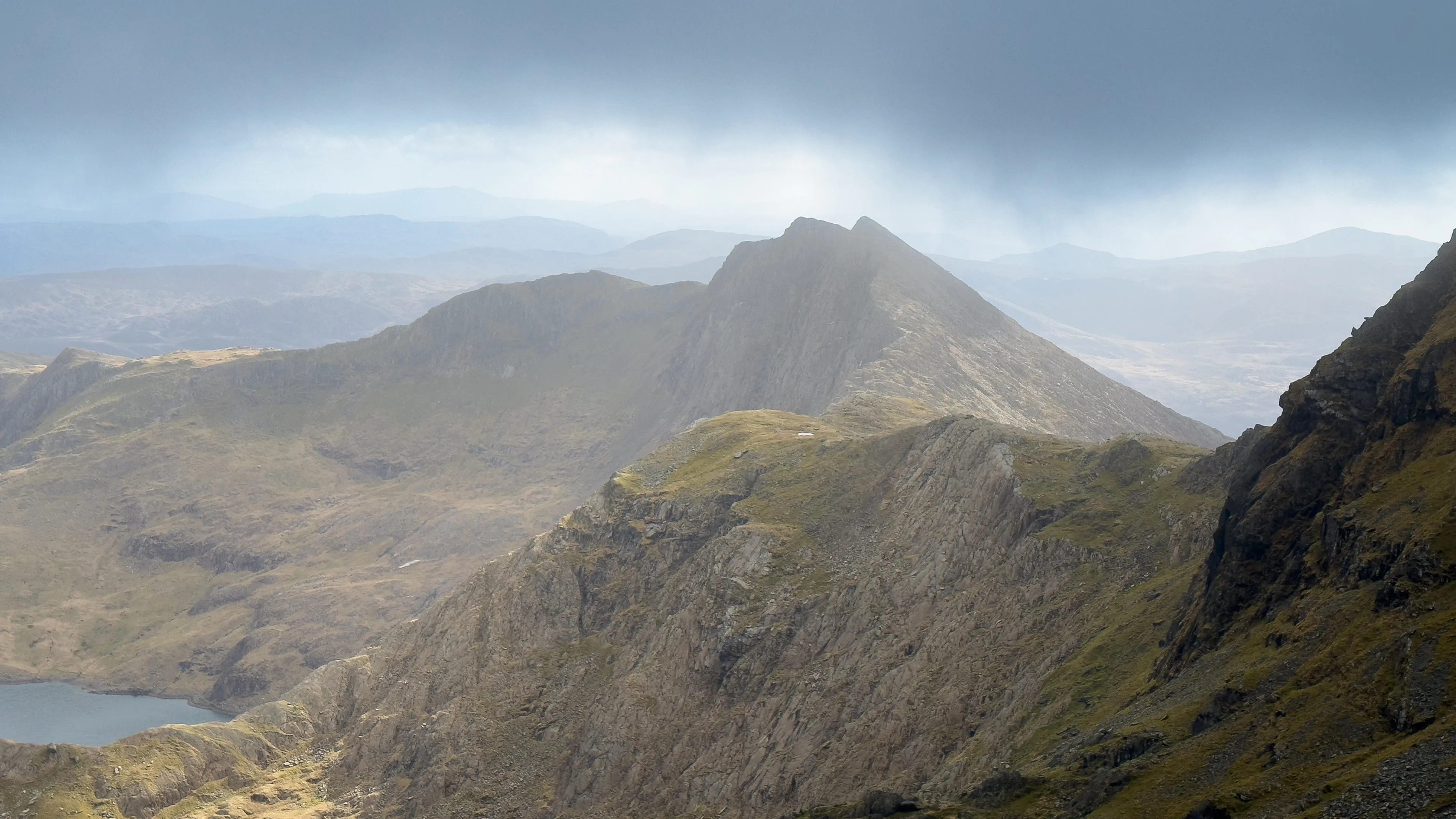
Ordnance Survey data reveals Britain’s most walkable towns
New analysis reveals the best places for walking without ruining your white trainers, for hill-walk repeaters, and for pushchairs and wheelchairs to name a few.

Geovation marks ten years of the Accelerator Programme with the launch of its 22nd cohort
The startups will be tackling some of the UK's most pressing challenges using location, land, and property data.
Glorious Outstanding Walks Wales/Cymru glossy coffee table book published by OS
Inspiring new book crammed with walks, must-do visits and picture-perfect locations for anyone fascinated by Wales to explore.

Ordnance Survey develops a ready-to-use land and habitat data tool to help with Biodiversity Net Gain
The tool could help speed up the Government's ambition to build 1.5 million homes sustainably.

Ordnance Survey agrees exciting charity partnership with Scope
Two-year arrangement until 2028 will see both organisations work alongside one another to tackle digital exclusion experienced by disabled people.
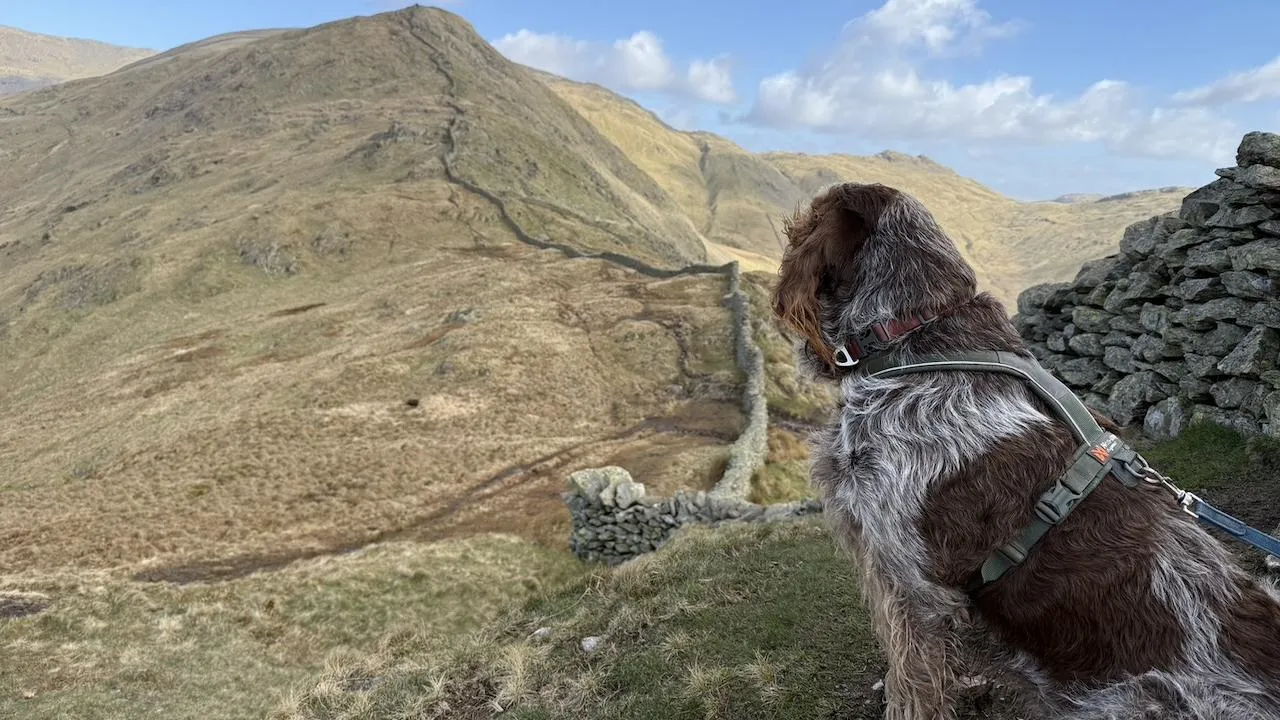
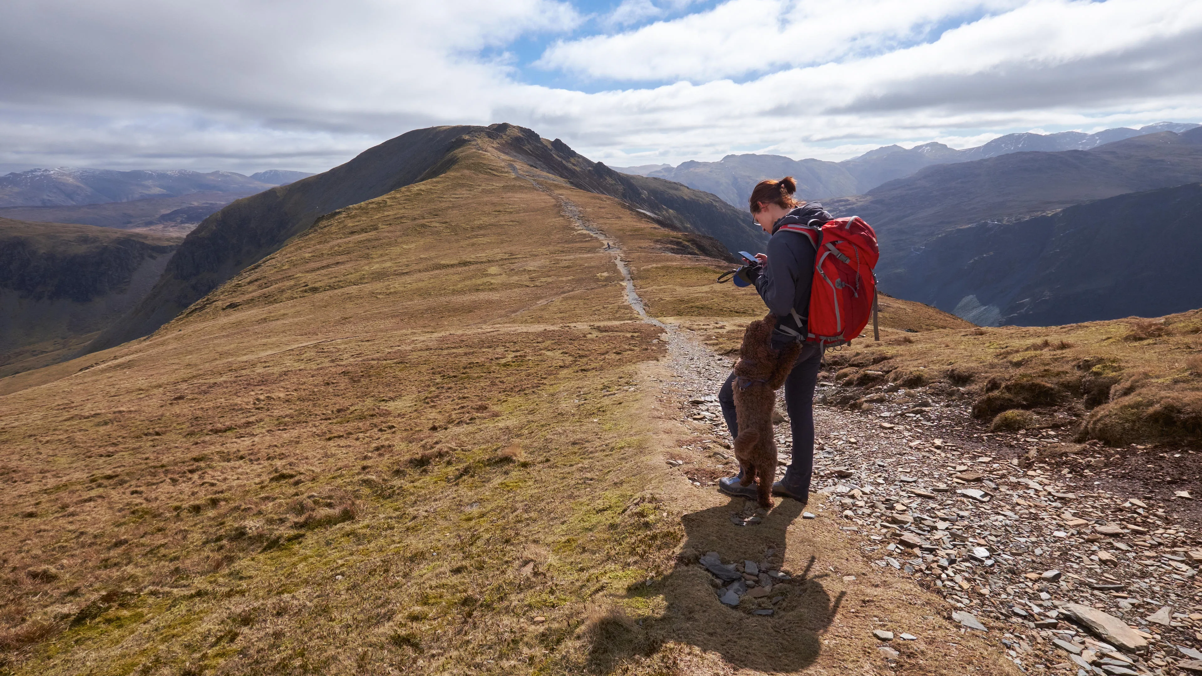
Ordnance Survey reveals new series of dog-friendly short walks made easy guides for three National Parks
The new well-researched guides highlight everything dog owners need for safe and enjoyable outings in the Peak District, the Lake District and the Yorkshire Dales.

Latest data release from Ordnance Survey delivers Britain’s most detailed digital map ever
The Ordnance Survey National Geographic Database now contains 16 data collections and 70 major data enhancements.

Innovative comms system will save vital time in multi-agency emergency responses
The system is supported by Ordnance Survey data and follows a recommendation from the Grenfell Tower Inquiry.