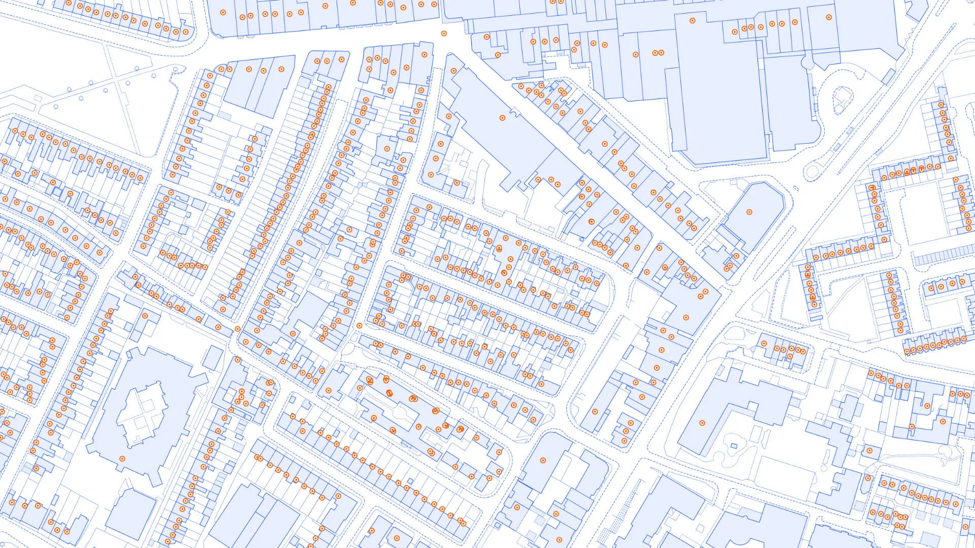
A full copy of Royal Mail’s Postcode Address File dataset with additional attribution provides a complete view of addressing for UK and Islands.
Discover the latest OS data release
New Address, Buildings, Land, Water and Transport data and attribution is available to access in the OS Data Hub.
Our latest data release
OS data provides critical location insight to the public sector, and our partners use our data to provide innovative geospatial solutions to both the private and public sector. We are committed to improving our data offering for our customers and have launched a range of new enhancements for autumn 2025.
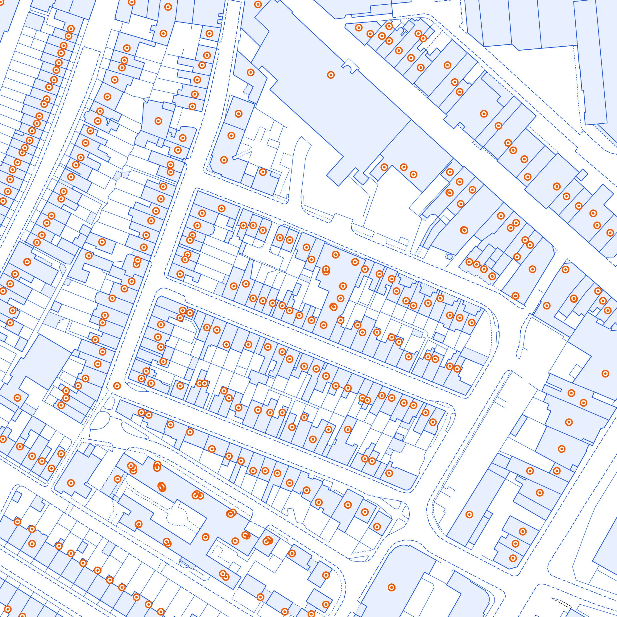
Royal Mail Address
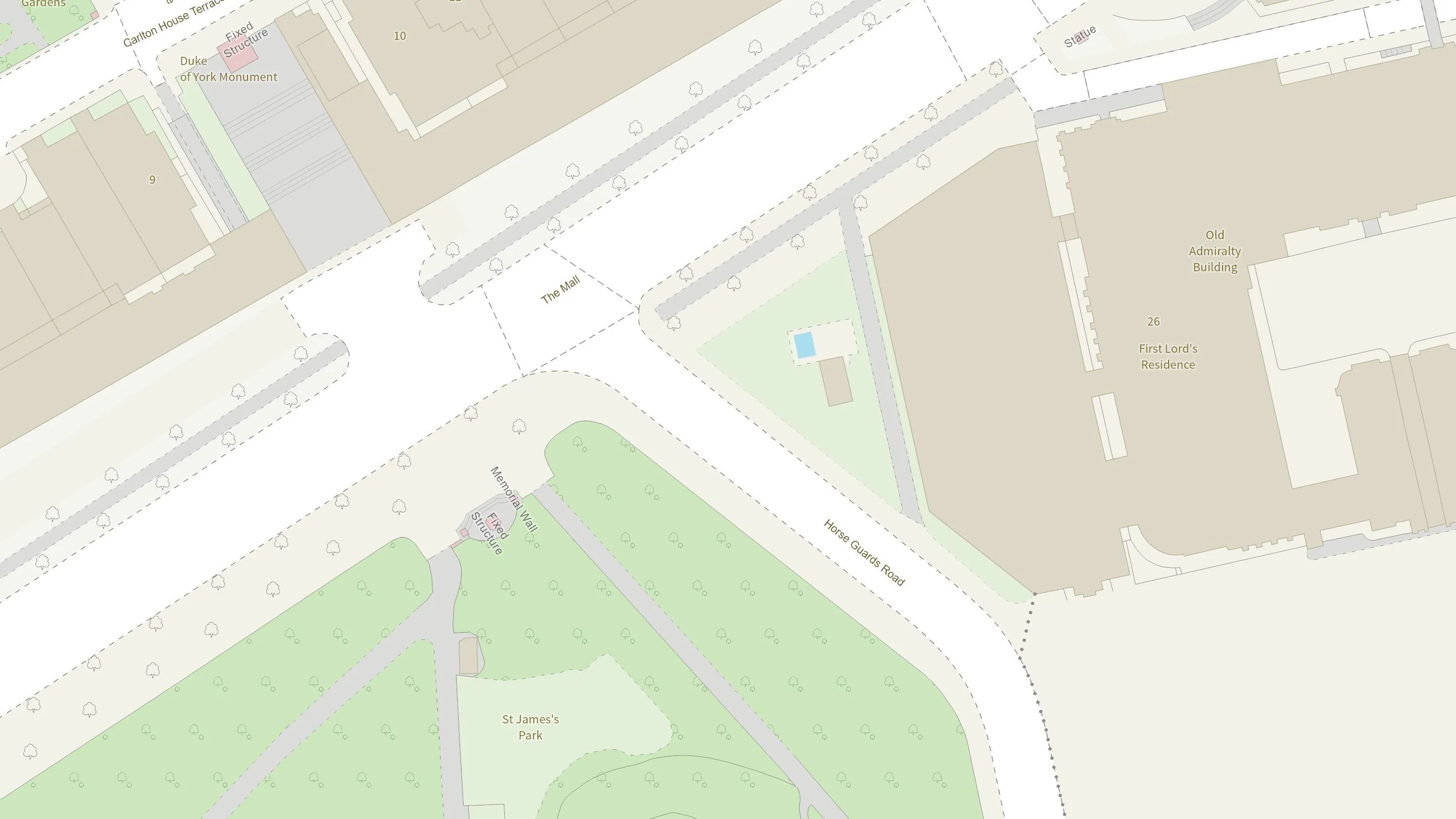
Physical state
New attribution that describes the physical condition or structural state of a building, be it built, under construction or derelict.
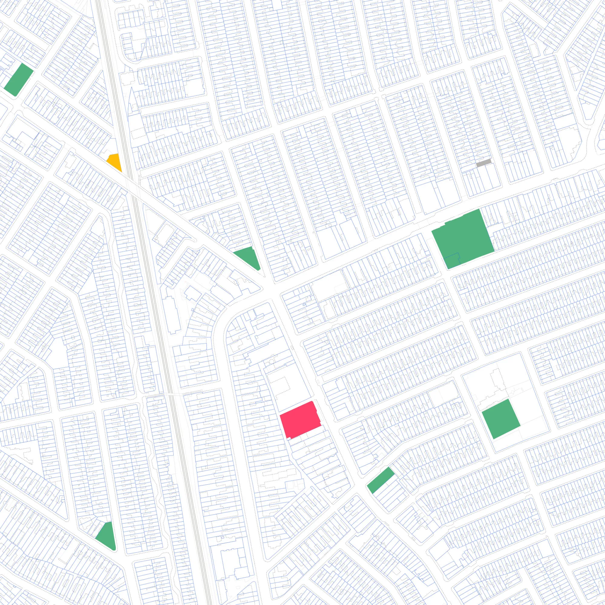
Status
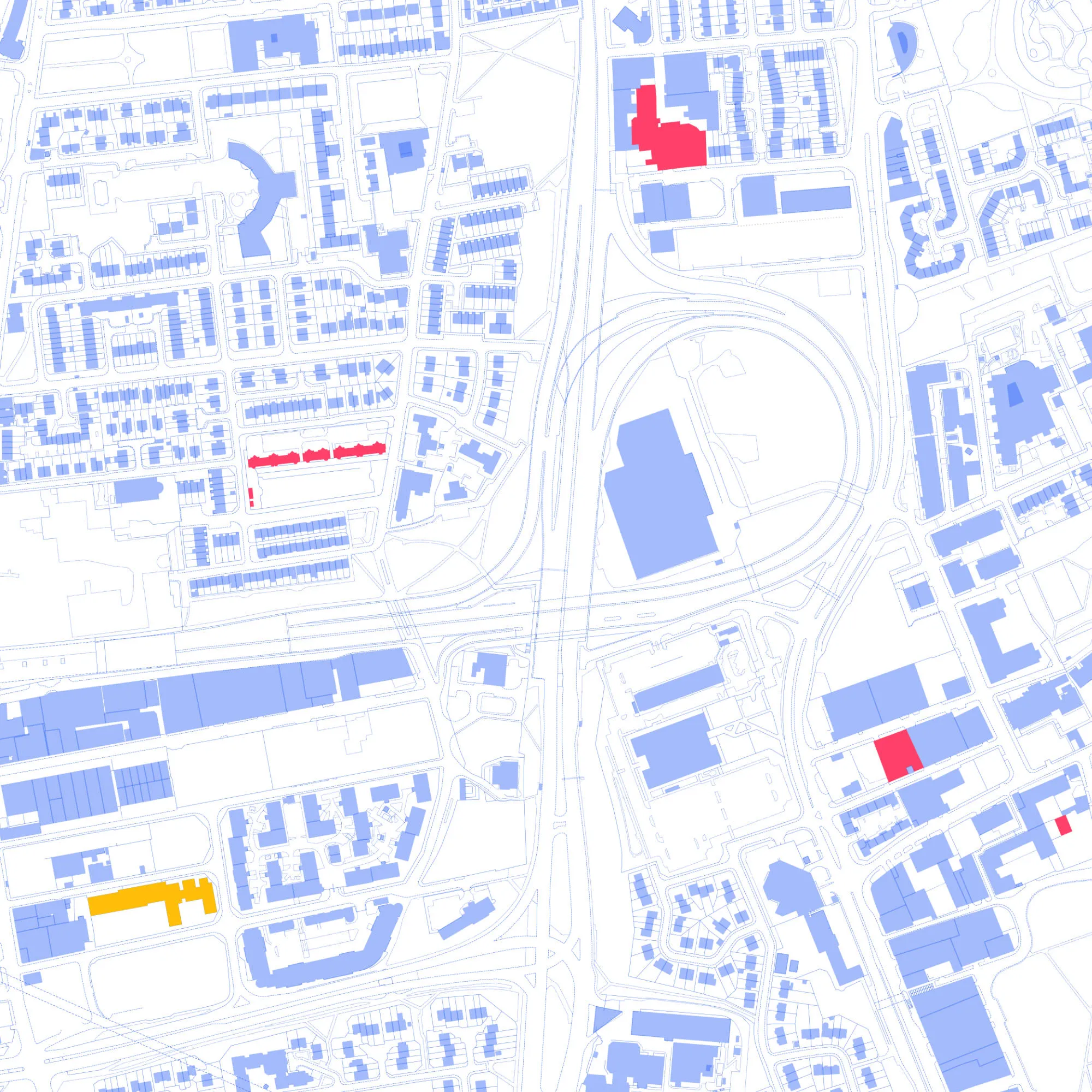
The operational status of a topographic feature in relation to its physical condition or the activity it is intended to support.
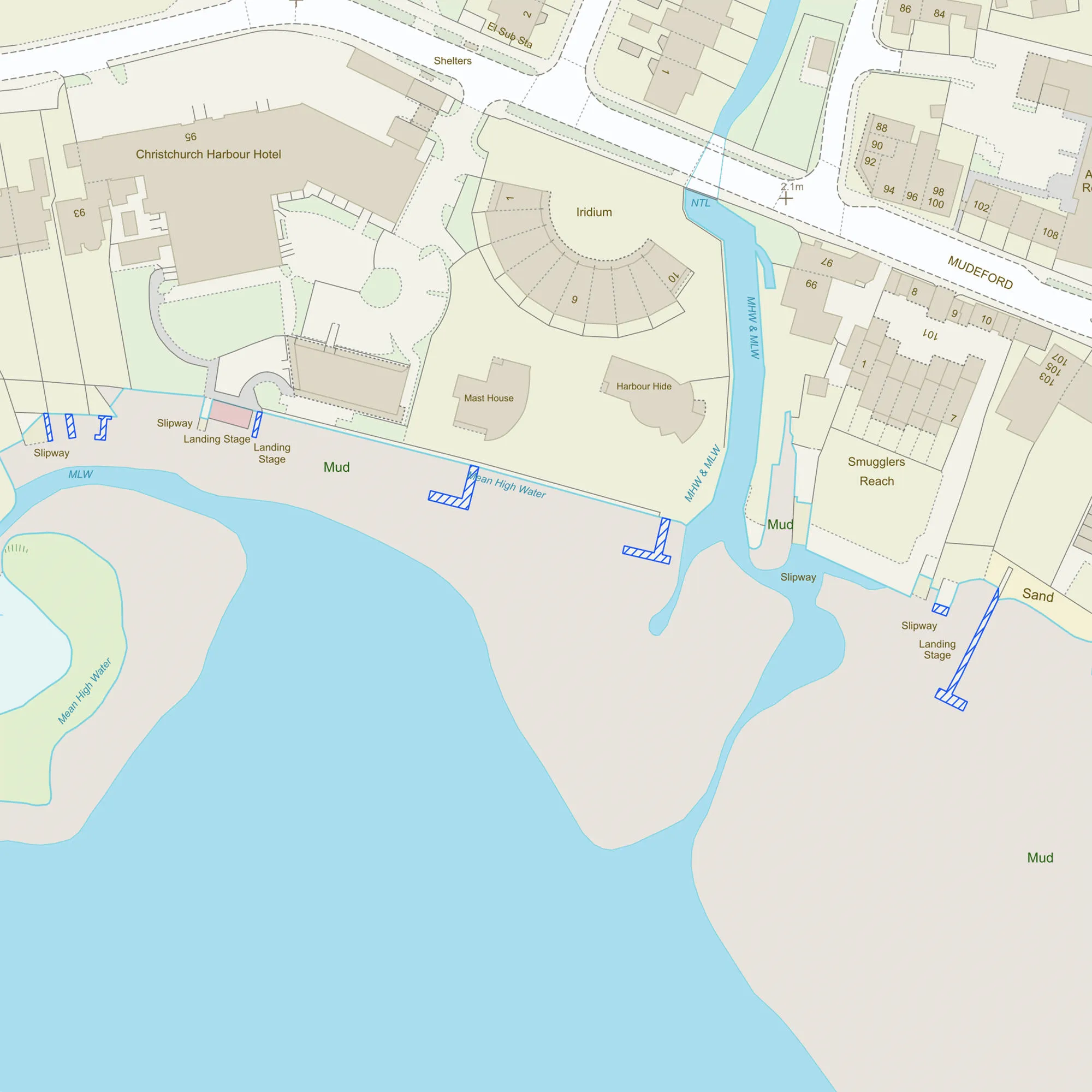
Intertidal areas
Unbroken polygons representing the intertidal zone between high tide and low tide lines.
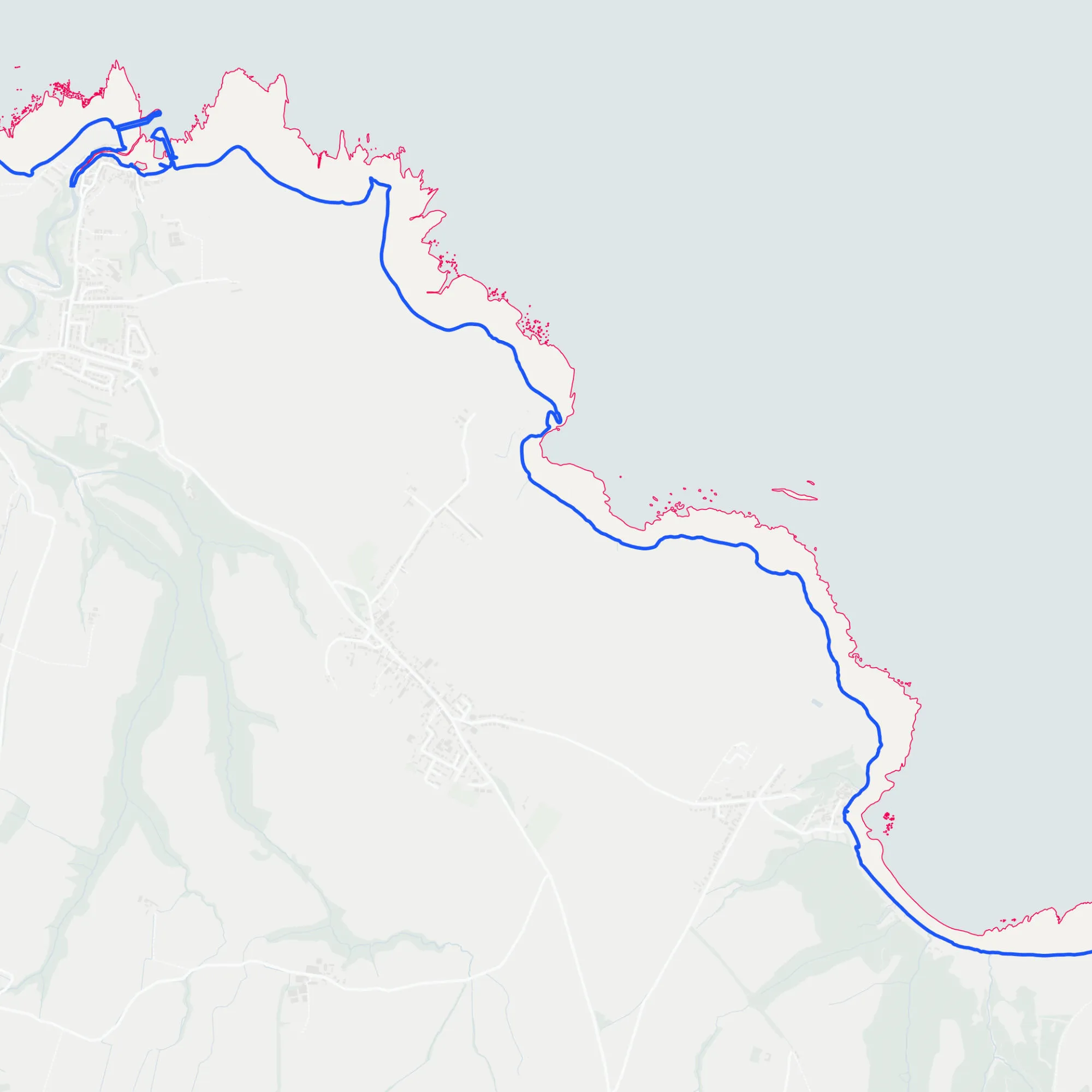
Continuous tidelines
Consistent and continuous mean high and mean low water or springs lines.
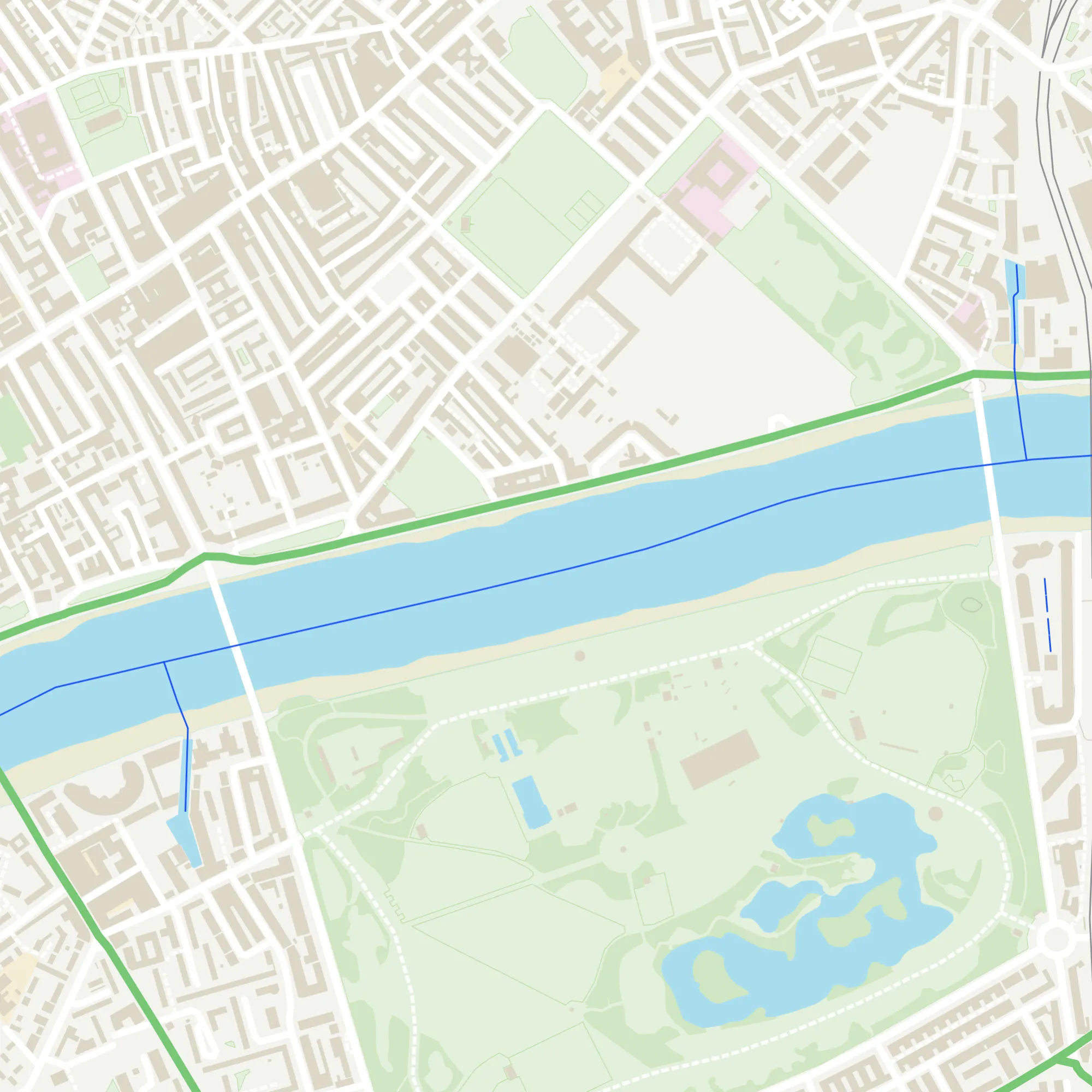
Watercourse widths
Improved width calculation and additional width values for watercourses.
Coming soon
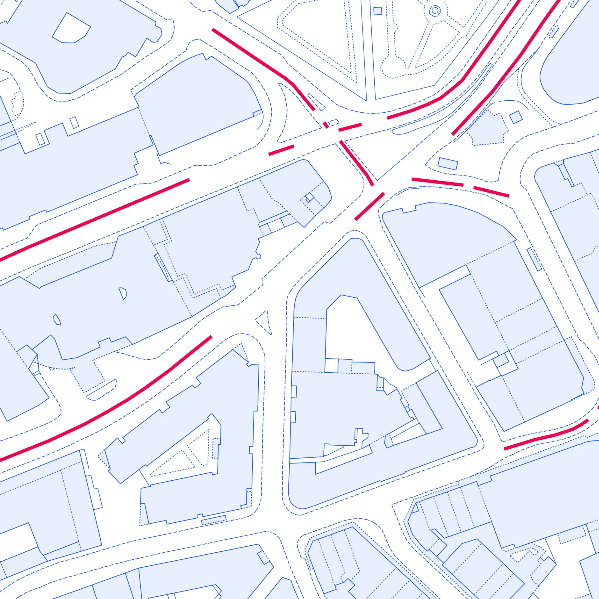
Bus lanes
New data for sections of roads in built-up areas that are designated for buses or shared usage. Partial coverage only until March 2026.
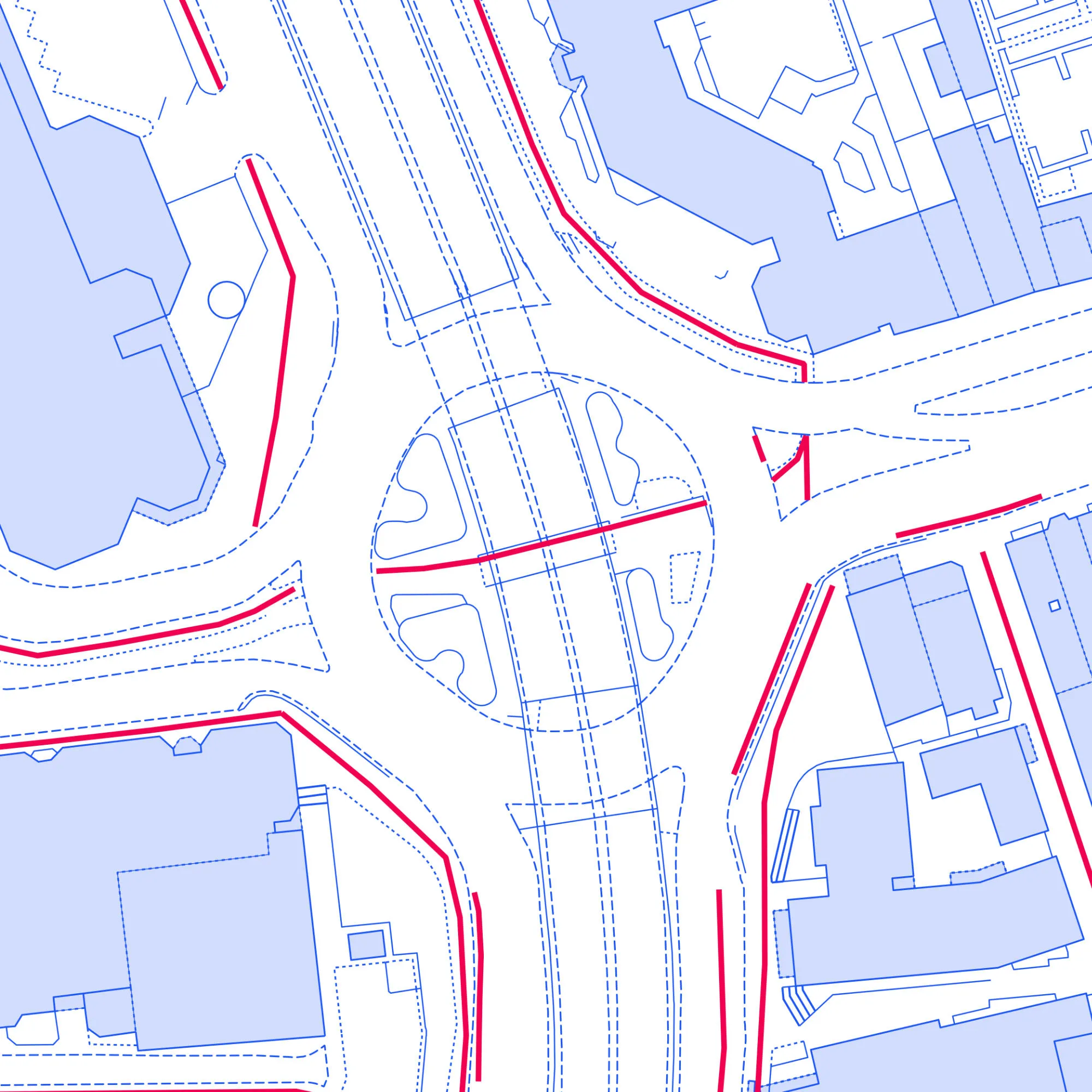
Cycle lanes
New data for sections of roads and paths that are designated for cyclists. Partial coverage only until March 2026.
Find support and technical information about the new data on OS Docs
Watch the webinars
We ran webinars in September for our partners and PSGA members where the OS Product team outlined the new data and its value to customers. If you were not able to join, or are looking for a recap, you can find the recordings on the OS website. Please note, watercourse widths will be available by the end of October.
The OS Data Hub is Ordnance Survey’s geospatial data platform where PSGA members and OS Channel Partners have full access to the OS National Geographic Database (NGD) and OS Premium data. Integrate the data you need into a Geographic Information System (GIS) and it will become a powerful component to your app, platform, project or solution.
Articles and case studies
Faster responses
The North Wales Cave Rescue Organisation have used Ordnance Survey data to enable faster responses.
Remote solar panel assessments underpinned by OS data
Absolar, renewable energy asset management specialist, uses OS data when surveying the solar panel potential of a given location.
How the British Army use mapping APIs for battlefield training
Learn how the 47 Regiment of the British Army is using OS mapping data to create training scenarios and realistic experiences.