Blog
Read location data and geography related stories and commentary
Filters (0)
- Page 1
- Blog
- Blog
- Blog
- Blog
- Blog
- Blog
- Blog
- Blog
From Rose Street to Cupid’s Chase – Ordnance Survey reveals Britain’s most romantic street names
To celebrate Valentine's Day, Ordnance Survey has searched for all the street names in Great Britain dedicated to love.
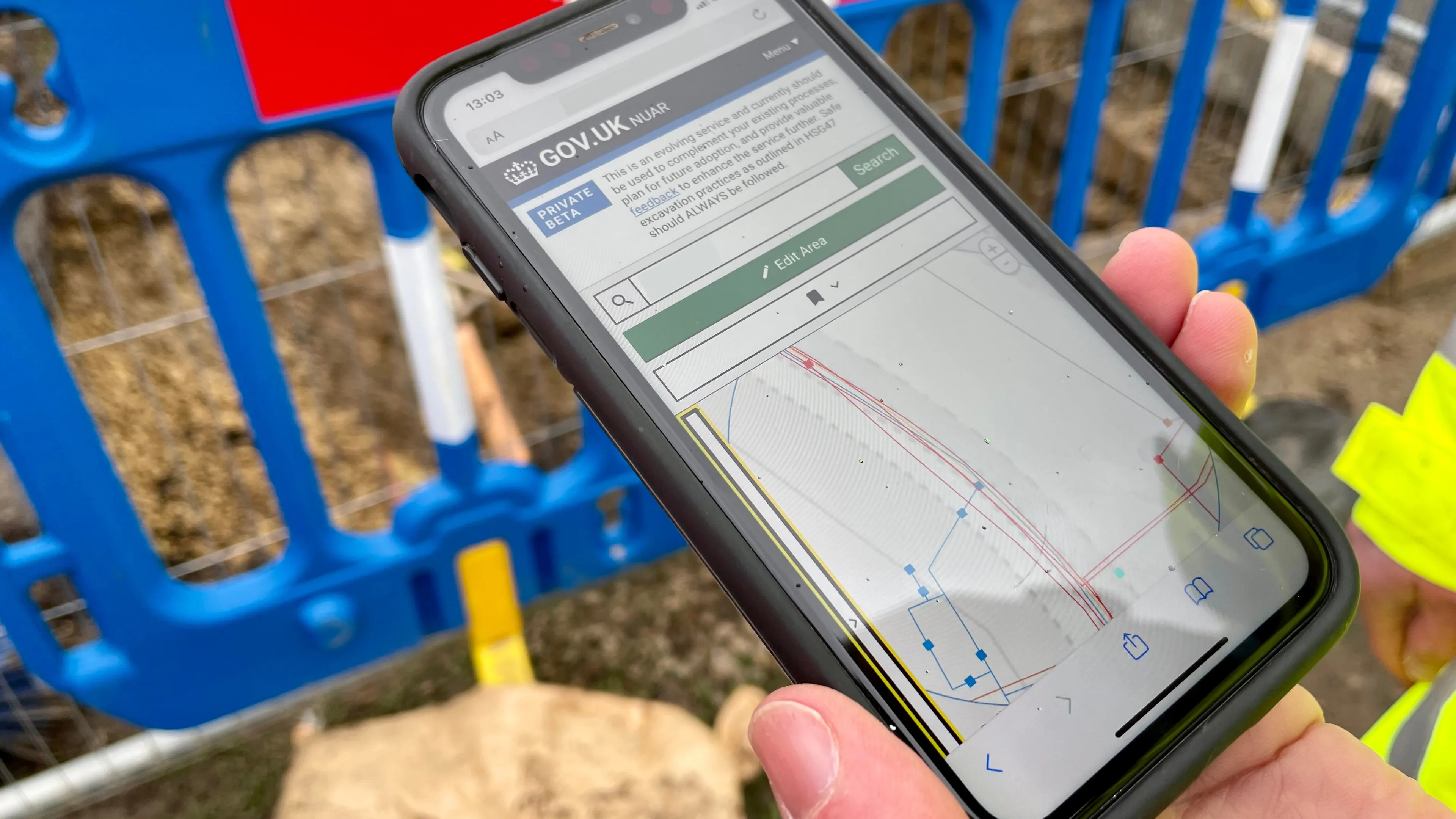
Update on the National Underground Asset Register from the Government Digital Service
GDS's update includes consultation and regulation news, developments to integrate with the ecosystem, and expanding access to more users.
More efficient land management with OS NGD data
Torfaen County Borough Council is using OS NGD data to maintain the areas of land it covers.
NUAR Notification of Works functionality now live
The latest developments of a Notification of Works capability for the National Underground Asset Register.
Noel tops the list as Britain’s most festive street name, reveals Ordnance Survey
As we fully embrace the festive season, Ordnance Survey has been searching for the most Christmassy road names.
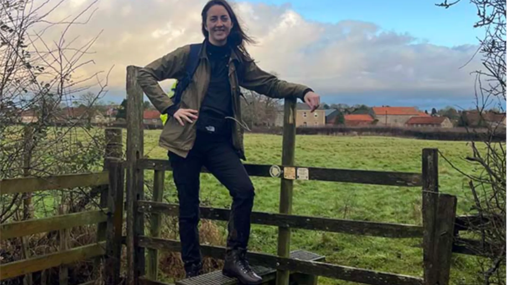
Uncovering the hidden history of England’s forgotten Queen
Author Alice Loxton used OS Maps app to walk 200-miles for her new book Eleanor – which unearths the life of powerful medieval queen Eleanor of Castile.
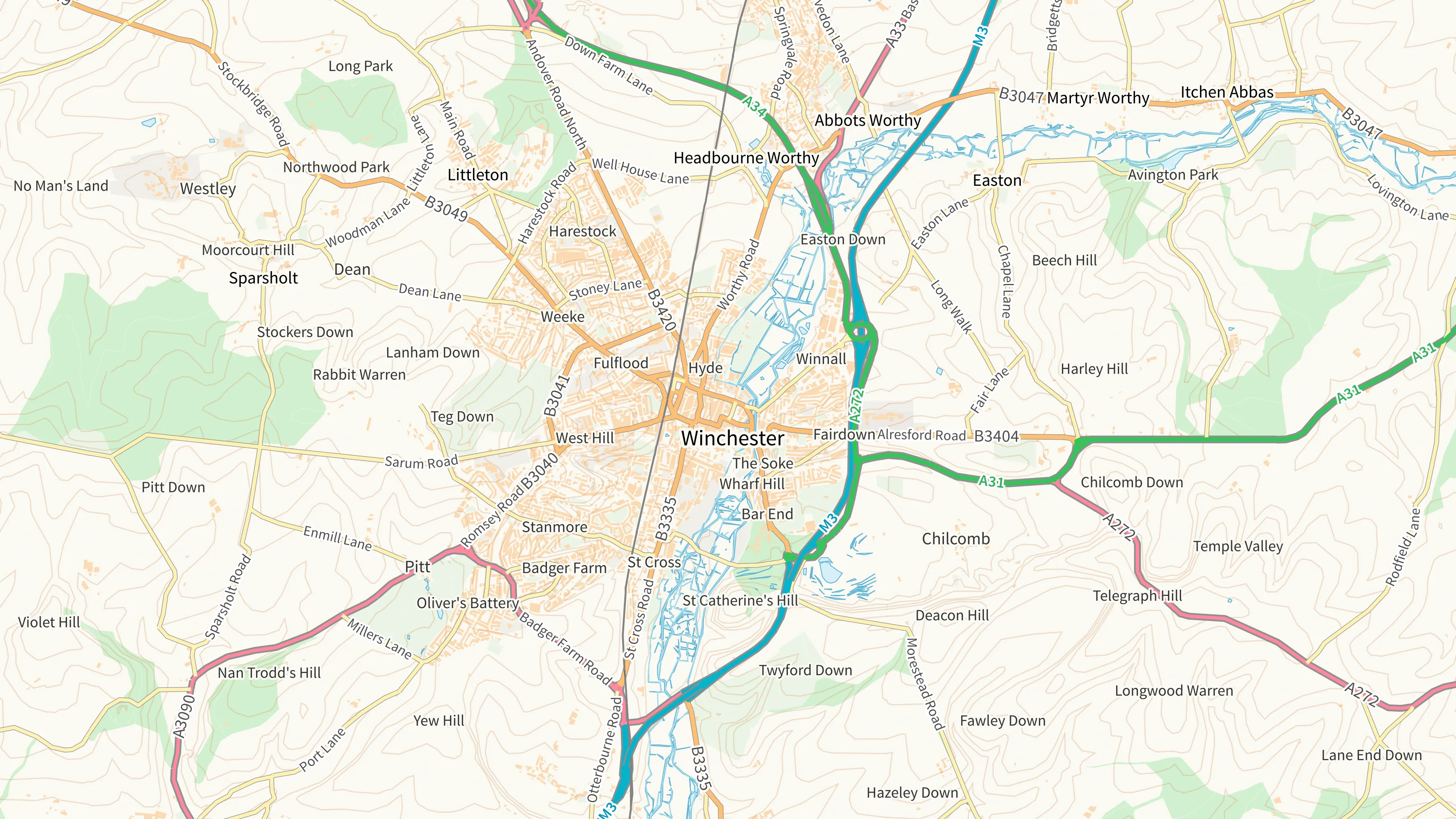
New basemap styles added to OS NGD Tiles API
Fully customisable and interactive basemaps can be created to visualise data from Ordnance Survey’s National Geographic Database – using our vector tile OS NGD Tiles API.
Notification of works in NUAR
The NUAR Team has published a proposed specification for a “Proposed Works Enquiry” service.

