Blog
Read location data and geography related stories and commentary
Filters (1)
Page 1
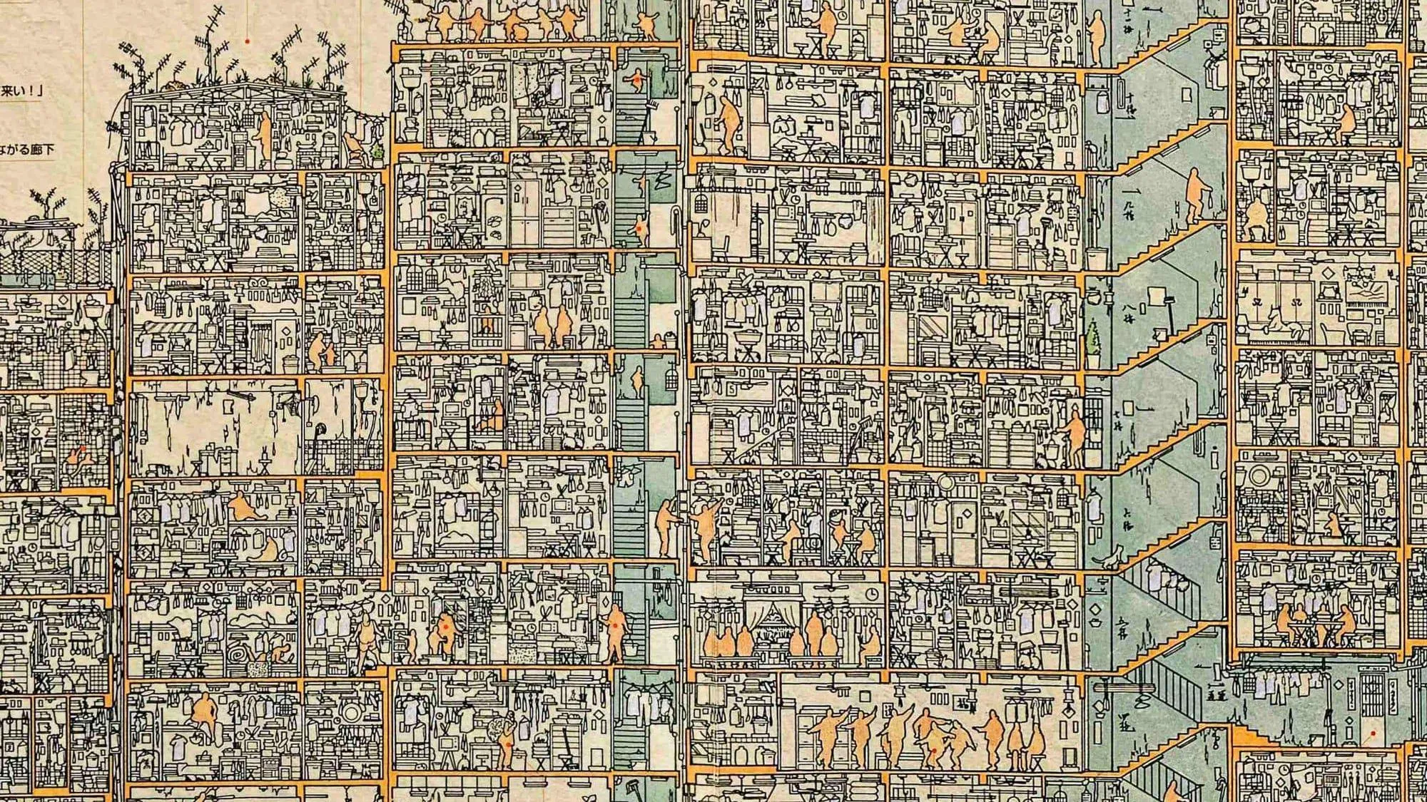
OS's seven favourite maps of 2024
OS takes a moment to celebrate the most innovative and beautifully crafted maps of 2024 that have pushed the boundaries of cartographic design.
- Blog
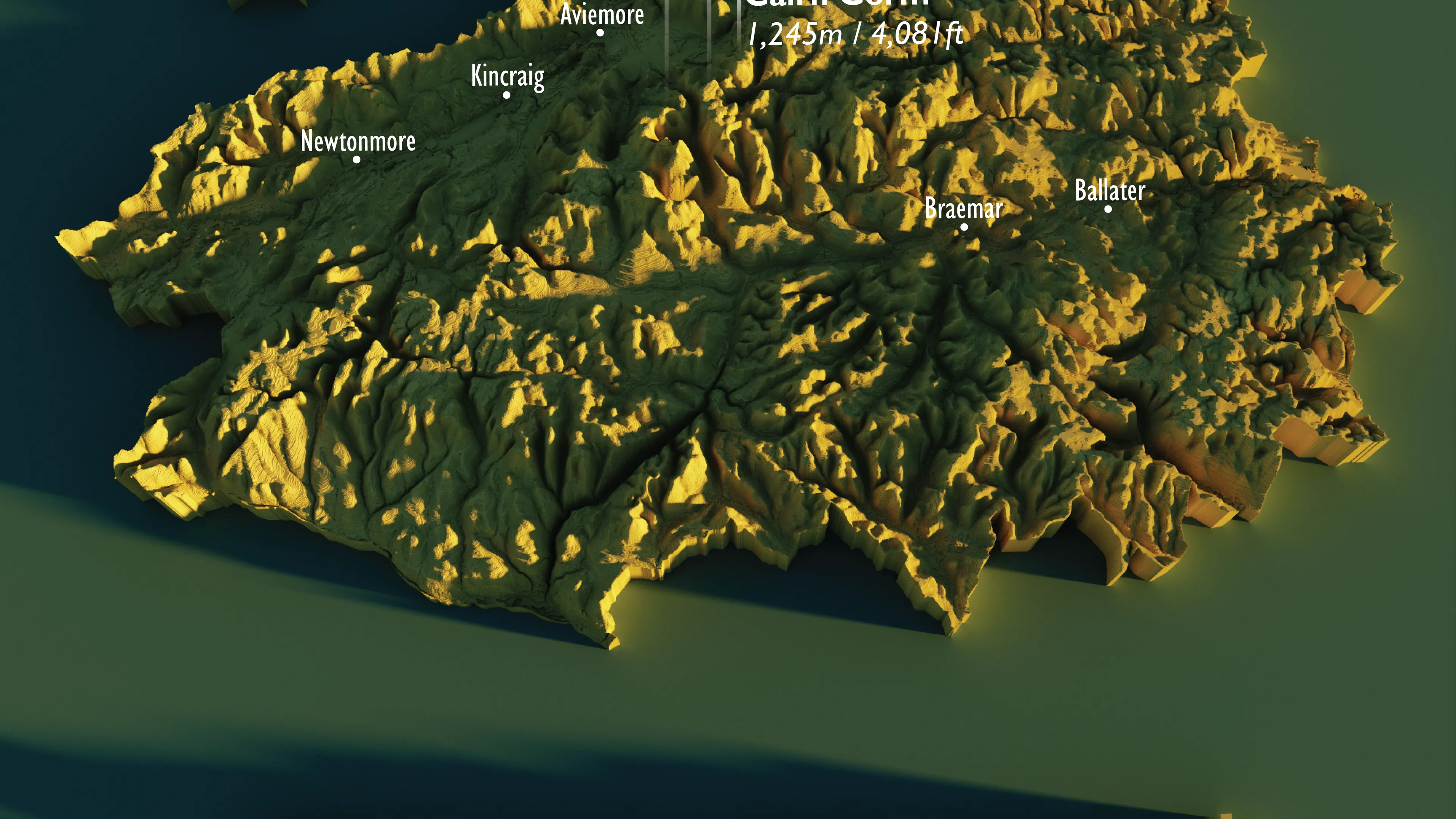
Celebrating The Cairngorms National Park’s 20th Anniversary
OS creates a new map to celebrate the Cairngorms 20th anniversary
- Blog
What is Cartography?
Our specialist insight into cartography; what it is, key features and elements, and how you can get started in this centuries-old practice.
- Blog
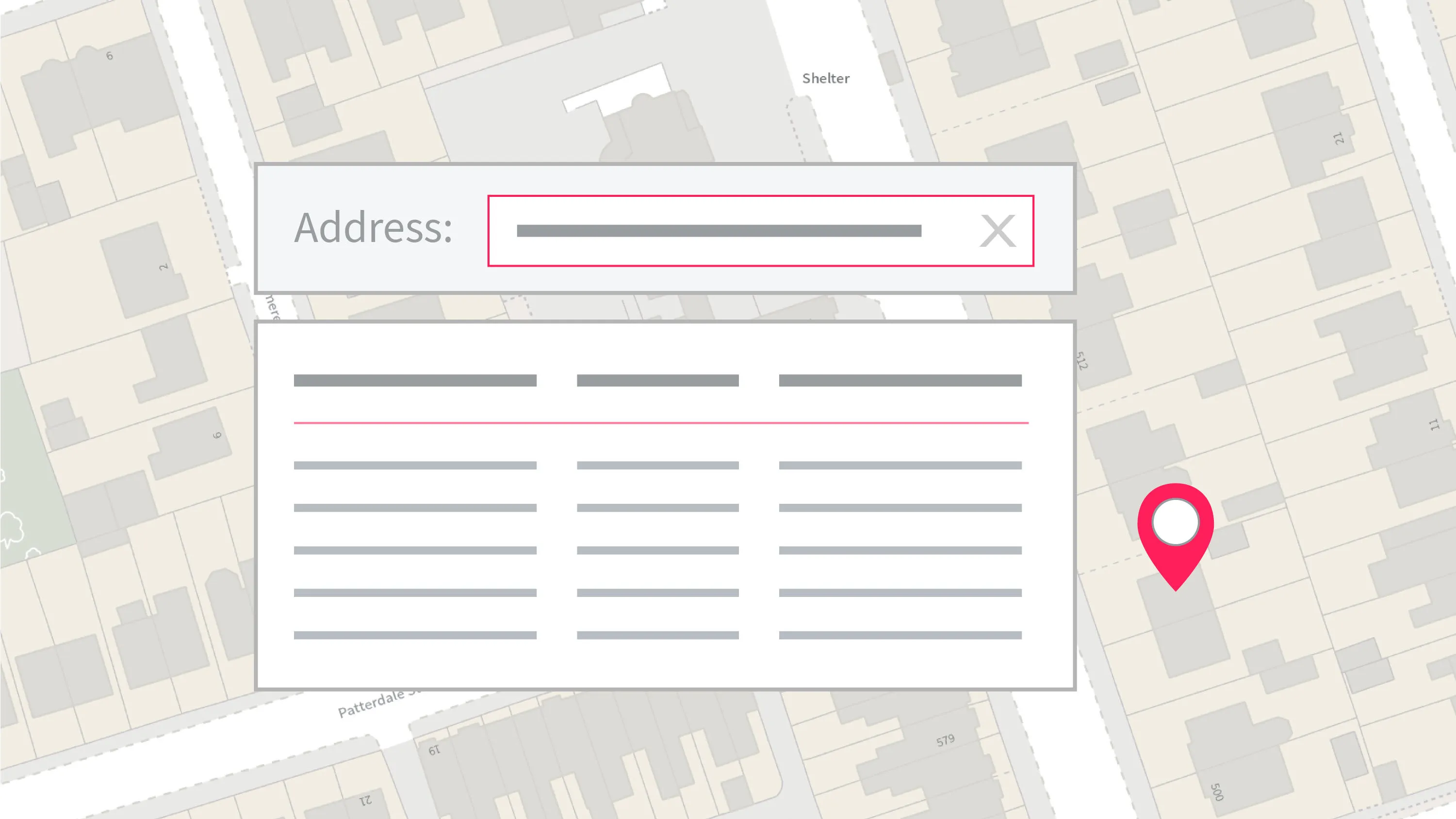
What is Postcode Lookup Software?
Using a postcode lookup tool can be very beneficial in a number of ways. Find out more about Addressbase - our postal address dataset for the UK.
- Blog
What are OS Identifiers?
Find out about our products which are vital in supporting the identification of households, key routable networks and understanding a delivery site.
- Blog
Thematic mapping techniques
Our GeoDataViz team talk us through their thematic mapping techniques and explain when and how these techniques should be used.
- Blog
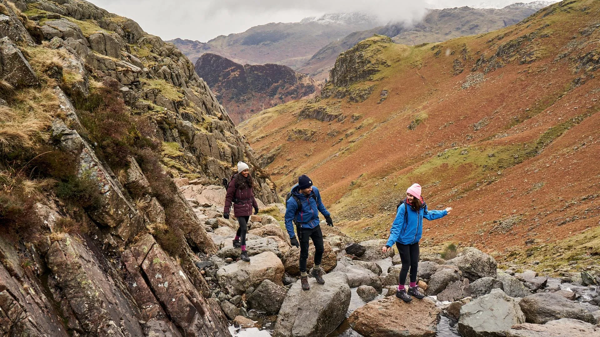
GB's longest linear walk without crossing a road
We get asked some curiously specific questions by our Twitter followers here at OS and our Consultation and Technical Services team are up for a challenge.
- Blog
Britain’s largest islands
Our GeoDataViz team worked with Alasdair Rae at the University of Sheffield to explore the largest of Britain’s islands.
- Blog