Insights
Explore expert geospatial insight and thought leadership
Filters (1)
Page 1
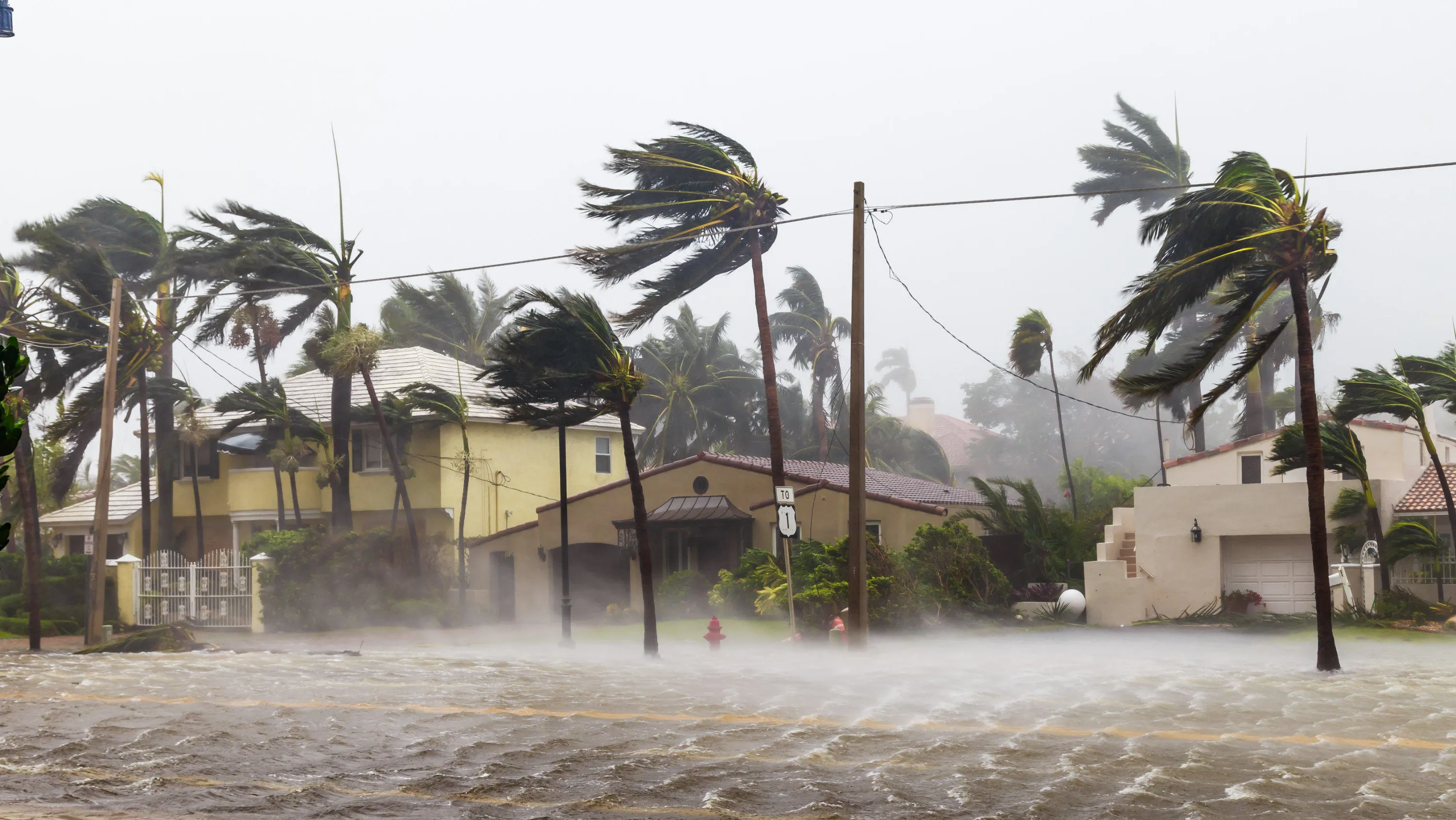
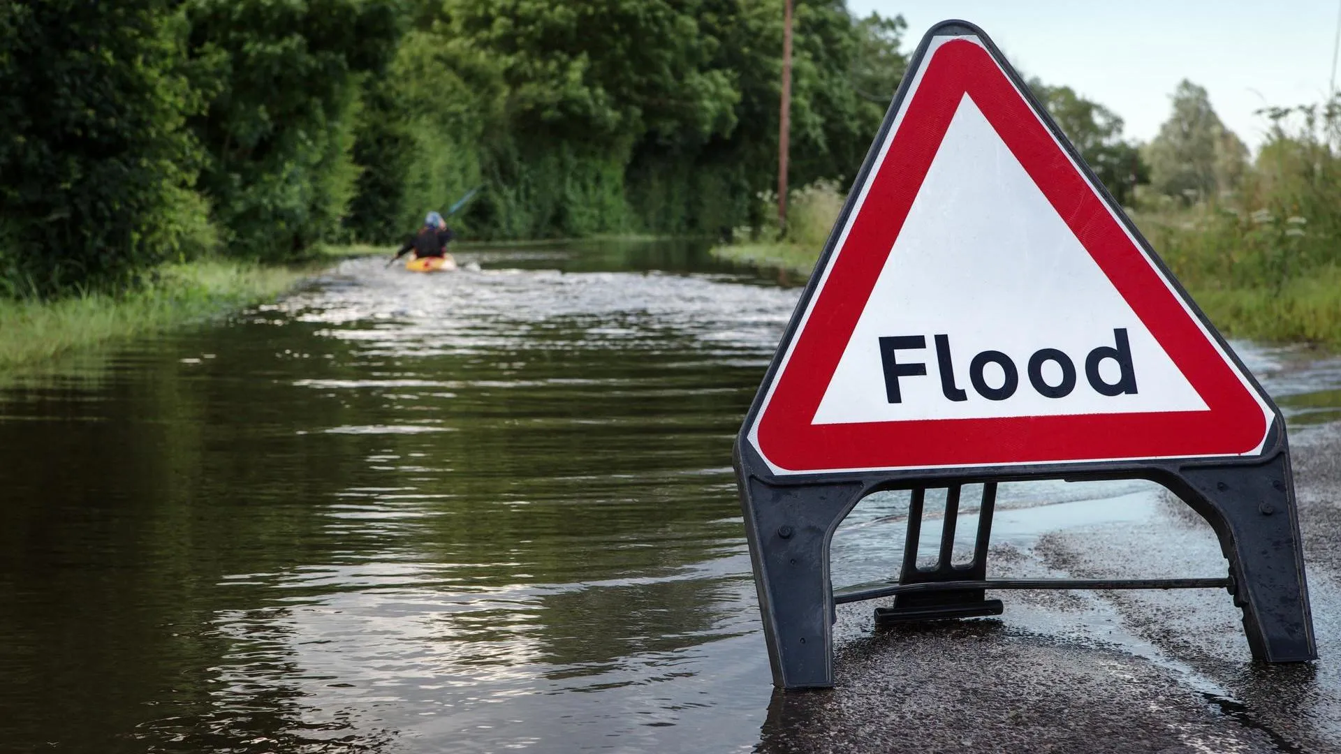
Building resilience to respond to extreme weather events
Resilience to major weather events is a global challenge. Geospatial data can be used as a vital source of intelligence in preparing for and responding to extreme weather.
- Insight
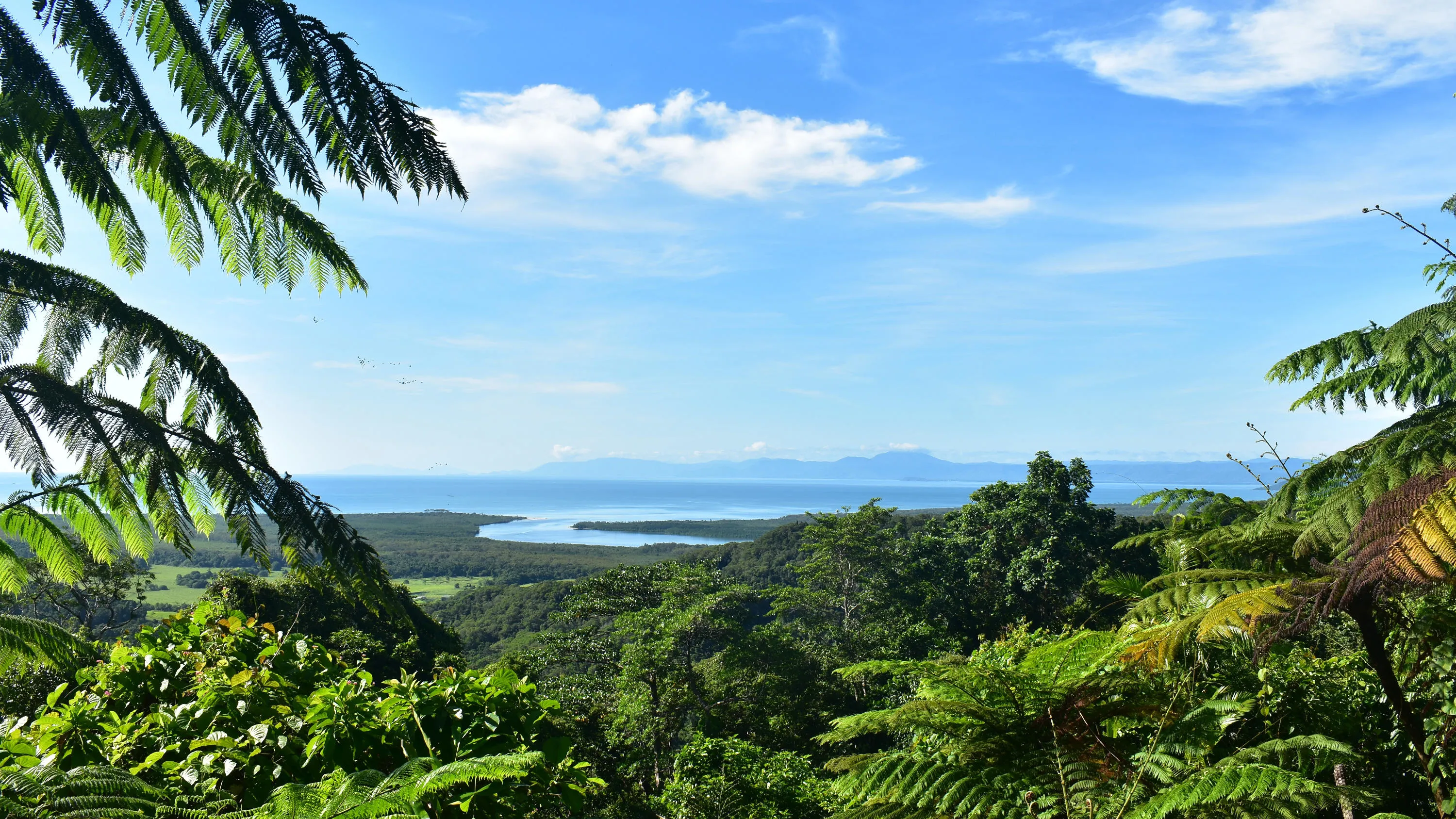
How securing indigenous land rights can help to fight climate change
Securing land rights for indigenous communities helps fight against climate change, and geospatial readiness and location data is a key enabler.
- Insight
How geospatial investment helps grow your city’s economy
Learn how geospatial readiness drives economic development. Build a base map for land admin, environment monitoring, smart city development.
- Insight
An introduction to OS Net
OS Net is Ordnance Survey's leading product in positioning services and co-ordination. Discover its capabilities, and how that data is being harnessed.
- Insight
How geospatial intelligence is shaping our world
The nations and businesses who successfully provide for their citizens and customers will do so by making informed decisions from trusted data.
- Insight
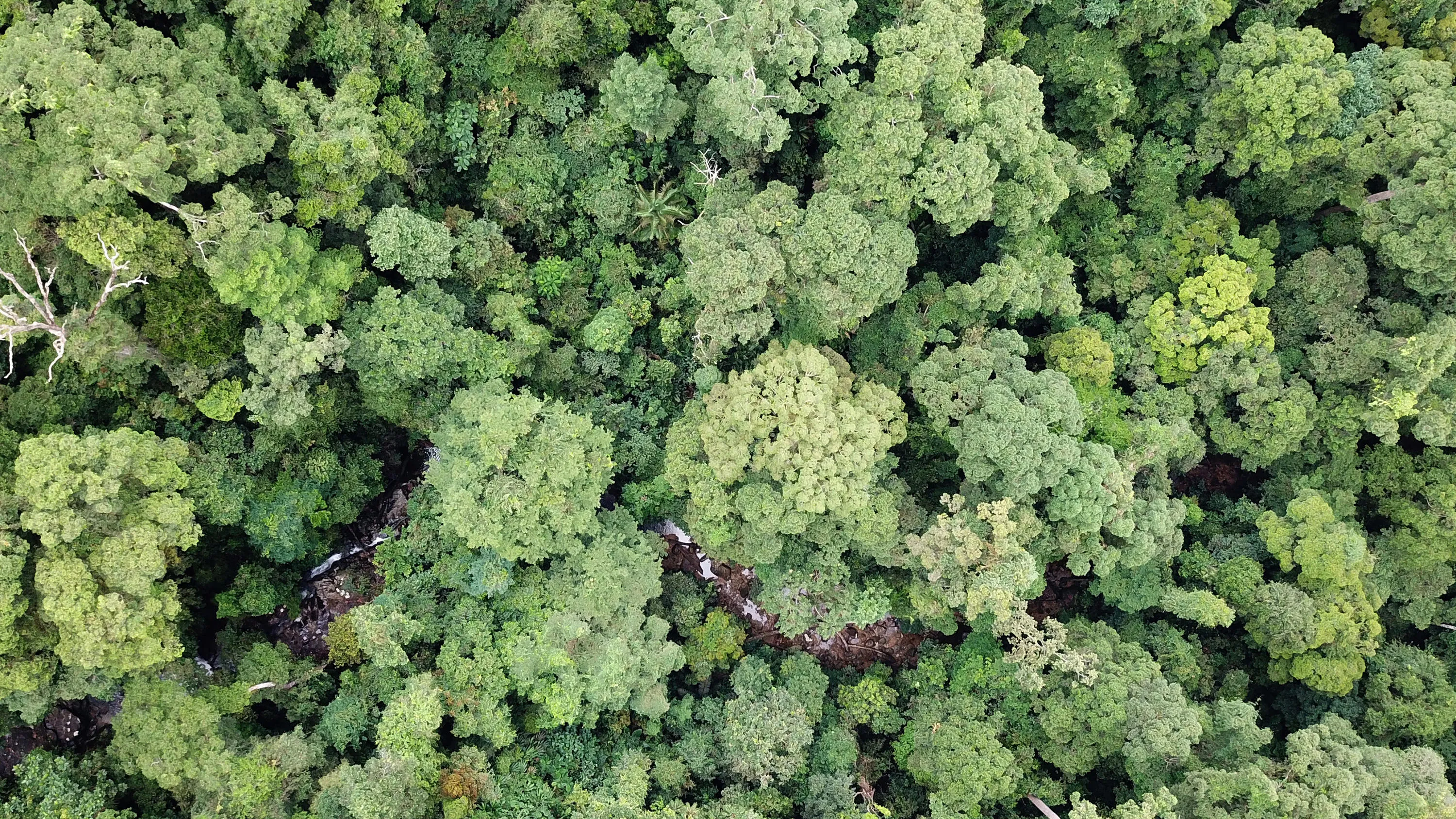
Mapping nature - climate change resilience and managing deforestation with geospatial data
Geospatial technology is influential in managing large-scale, complex issues such as the regulation of palm oil plantations in Indonesia.
- Insight
Has Earth’s human population surpassed the planet’s carrying capacity?
The elephant in the room of climate change discourse - has Earth’s human population surpassed the planet’s carrying capacity?
- Insight
Preparing for natural disasters with open data
Place-based environmental data is predicting floods and supporting emergency responses to other natural disasters
- Insight