News
The latest news and press releases from Ordnance Survey
Filters (0)
Page 1
How the Welsh Government is leading the way with a single mapping and data platform for Wales
Whether empowering the public or supporting local authorities in decision-making, the DataMapWales portal plays an essential role, supported by Ordnance Survey data.
- News
Iconic Blackpool Pleasure Beach mapped in unprecedented 3D detail for the first time to aid emergency services
The mapping will support safer, more effective emergency planning and response.
- News
How Ordnance Survey is bringing together leaders and innovators to explore how location can help tackle real-world challenges
The OS Innovation Festival in June will build on the success of last year's inaugural event, with more than 250 people expected.
- News
Ordnance Survey recognised for leadership within the global geospatial sector
Ordnance Survey has been awarded National Geospatial Agency of the Year by Geospatial World.
- News
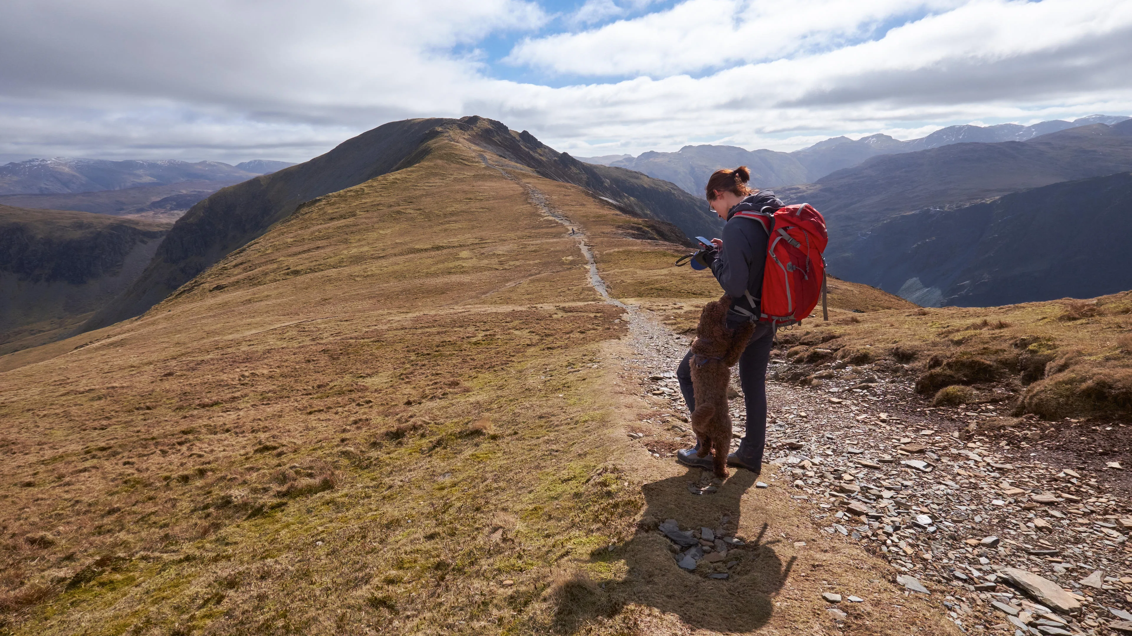
Ordnance Survey data reveals Britain’s most walkable towns
New analysis reveals the best places for walking without ruining your white trainers, for hill-walk repeaters, and for pushchairs and wheelchairs to name a few.
- News
Geovation marks ten years of the Accelerator Programme with the launch of its 22nd cohort
The startups will be tackling some of the UK's most pressing challenges using location, land, and property data.
- News
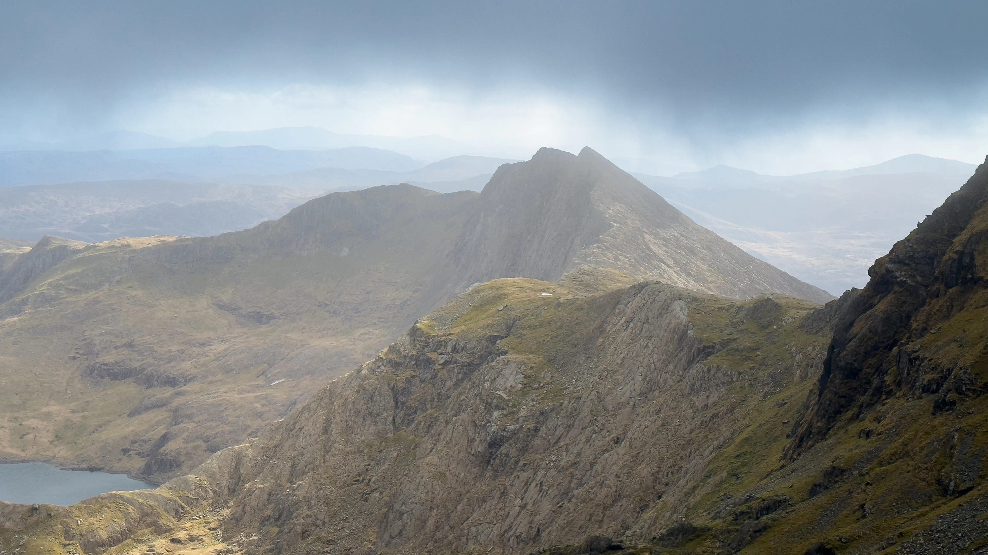
Glorious Outstanding Walks Wales/Cymru glossy coffee table book published by OS
Inspiring new book crammed with walks, must-do visits and picture-perfect locations for anyone fascinated by Wales to explore.
- News
Ordnance Survey develops a ready-to-use land and habitat data tool to help with Biodiversity Net Gain
The tool could help speed up the Government's ambition to build 1.5 million homes sustainably.
- News
Ordnance Survey agrees exciting charity partnership with Scope
Two-year arrangement until 2028 will see both organisations work alongside one another to tackle digital exclusion experienced by disabled people.
- News