Search for OS data products
Search below to find the best geospatial data product for you
Filters (1)
- Page 1

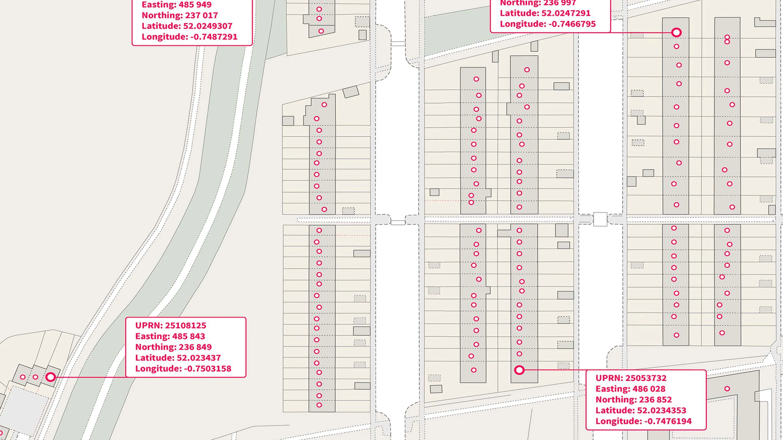
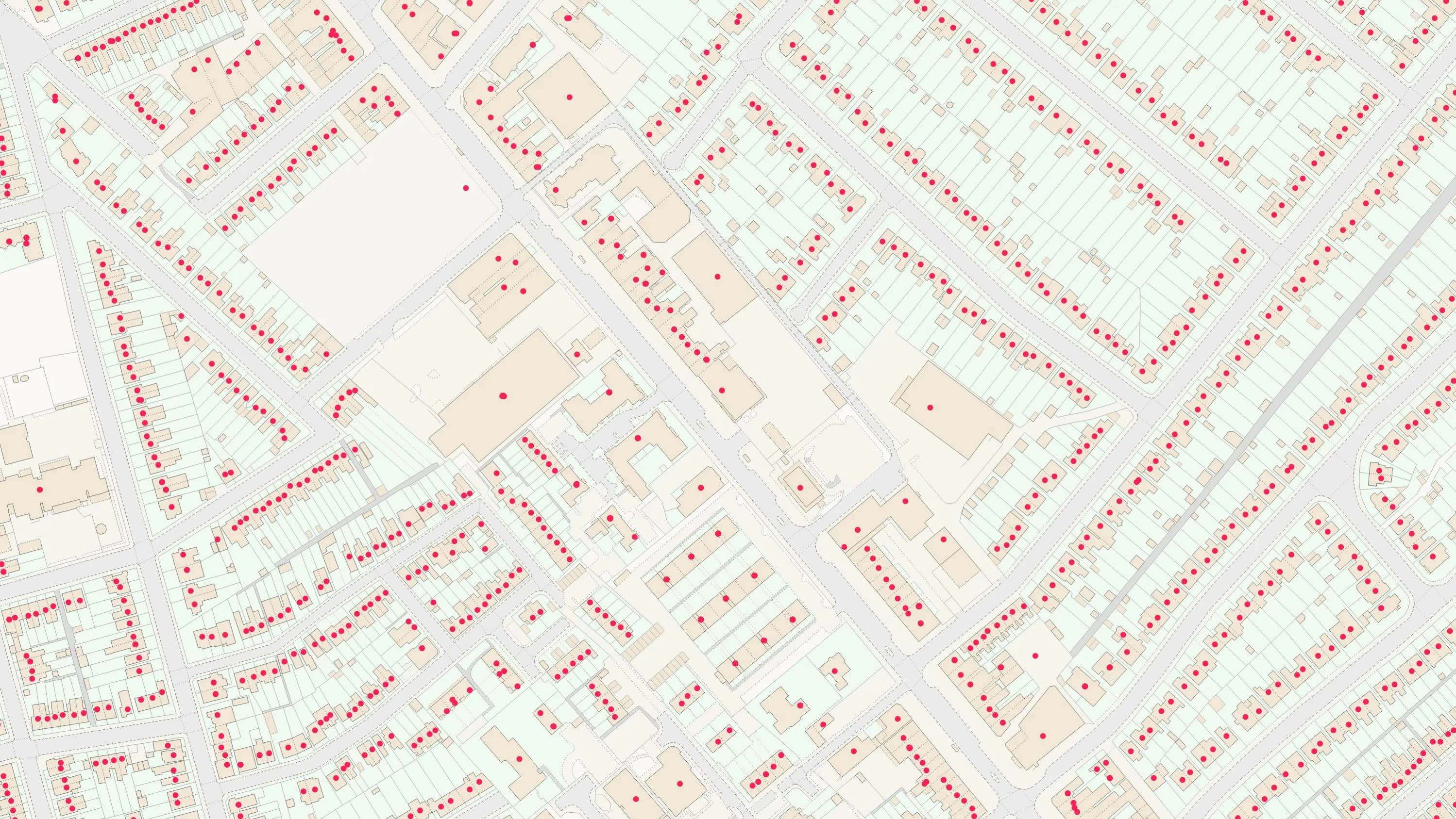
A complete address data collection for Great Britain, including UPRNs, property classification, postal status, and construction status.

The OS Emergency Services Gazetteer (ESG) provides a national, consistent, and maintained view of the locations and names of places and objects.
An open dataset enabling linking, sharing and visualisation of data related to UPRNs.

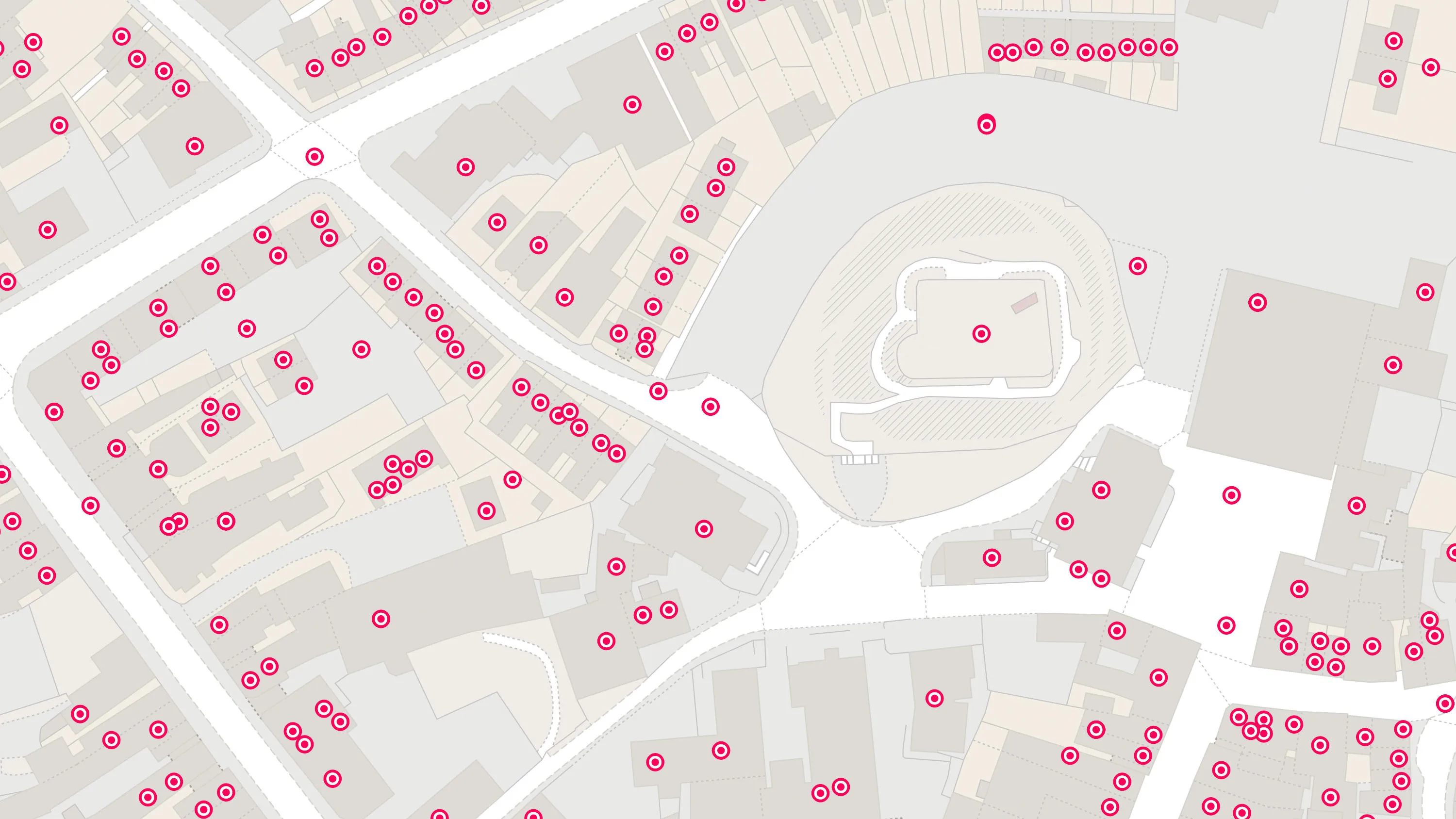
Our list of named features and places, as identifiers for locations in the real world: cities, towns, beaches, reservoirs, and more.

A complete address data collection for Northern Ireland, the Channel Islands and Isle of Man, including UPRNs, and property classification, postal and construction status.

OS Open Names is an open dataset of place names, road numbers and postcodes in Great Britain.
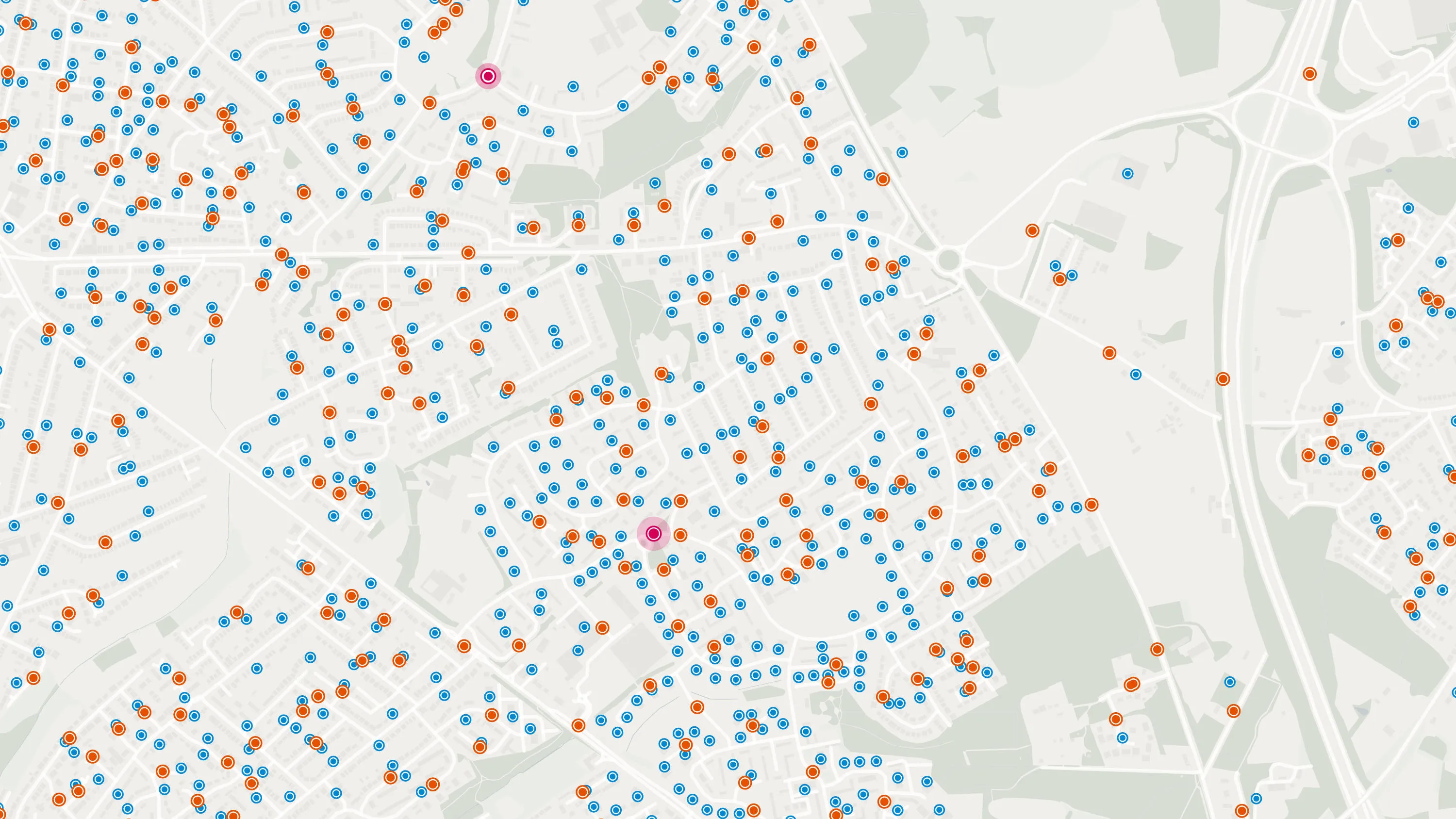
A geographic directory with basic information on identifiable places. Find the closest location to a given point through the API.

An addressing gazetteer offering full lifecycle information of a property for Northern Ireland, Isle of Man and the Channel Islands.
AddressBase Premium offers full lifecycle information of a property that can be used within geographical information systems & database systems.

OS Places API lets you perform accurate geocoding and reverse geocoding with our secure, scalable, and resilient address API.
AddressBase Core is a simple, accessible addressing data product giving plug and play access to complete, accurate address data.