Search for OS data products
Search below to find the best geospatial data product for you
Filters (1)
- Page 1

Access data on buildings and building features, including building heights, lines, and access points, across Great Britain.

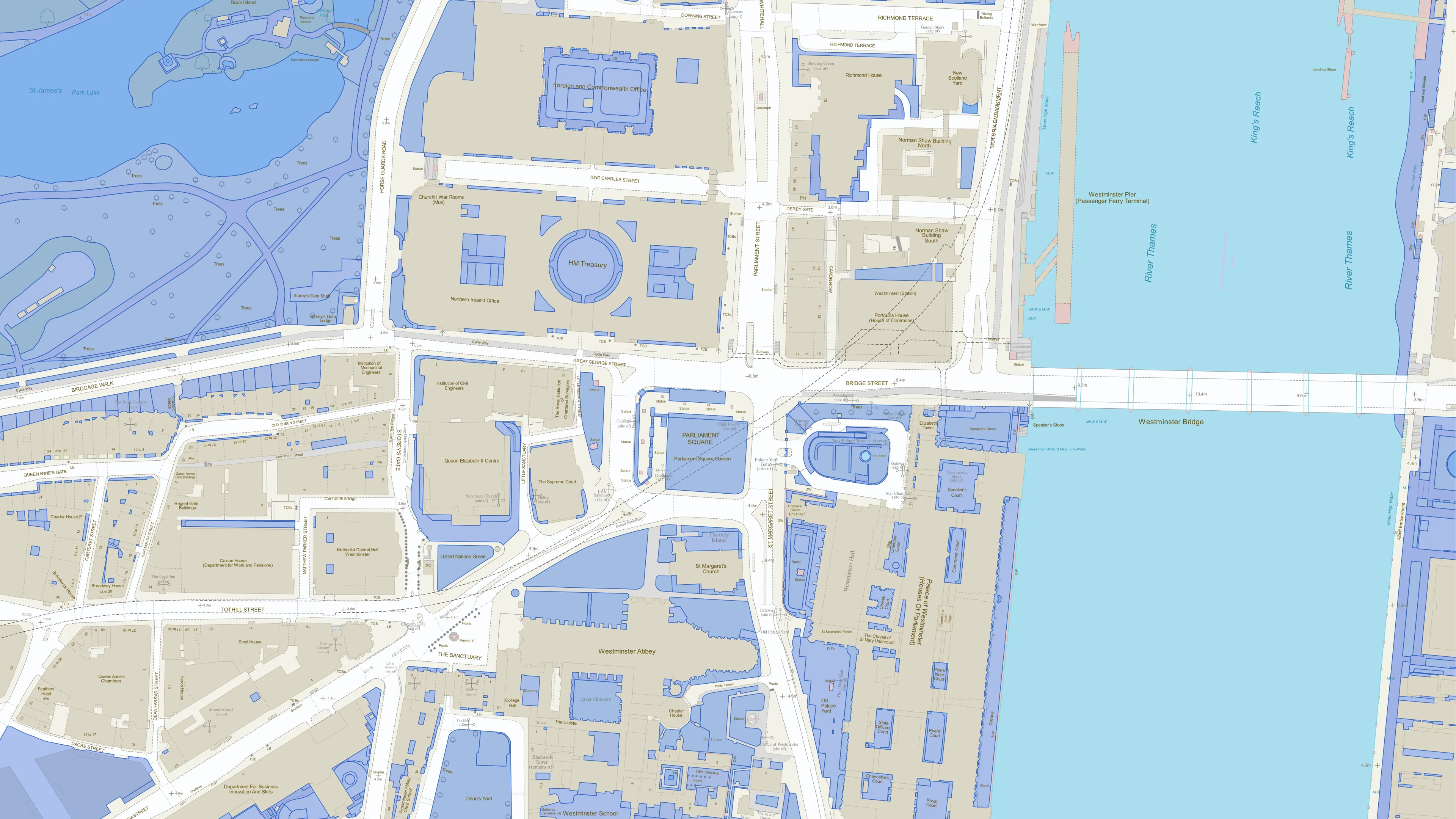
A dataset of unique identifiers for a wide range of land-scape and built environment features with a generalised location from OS MasterMap products.
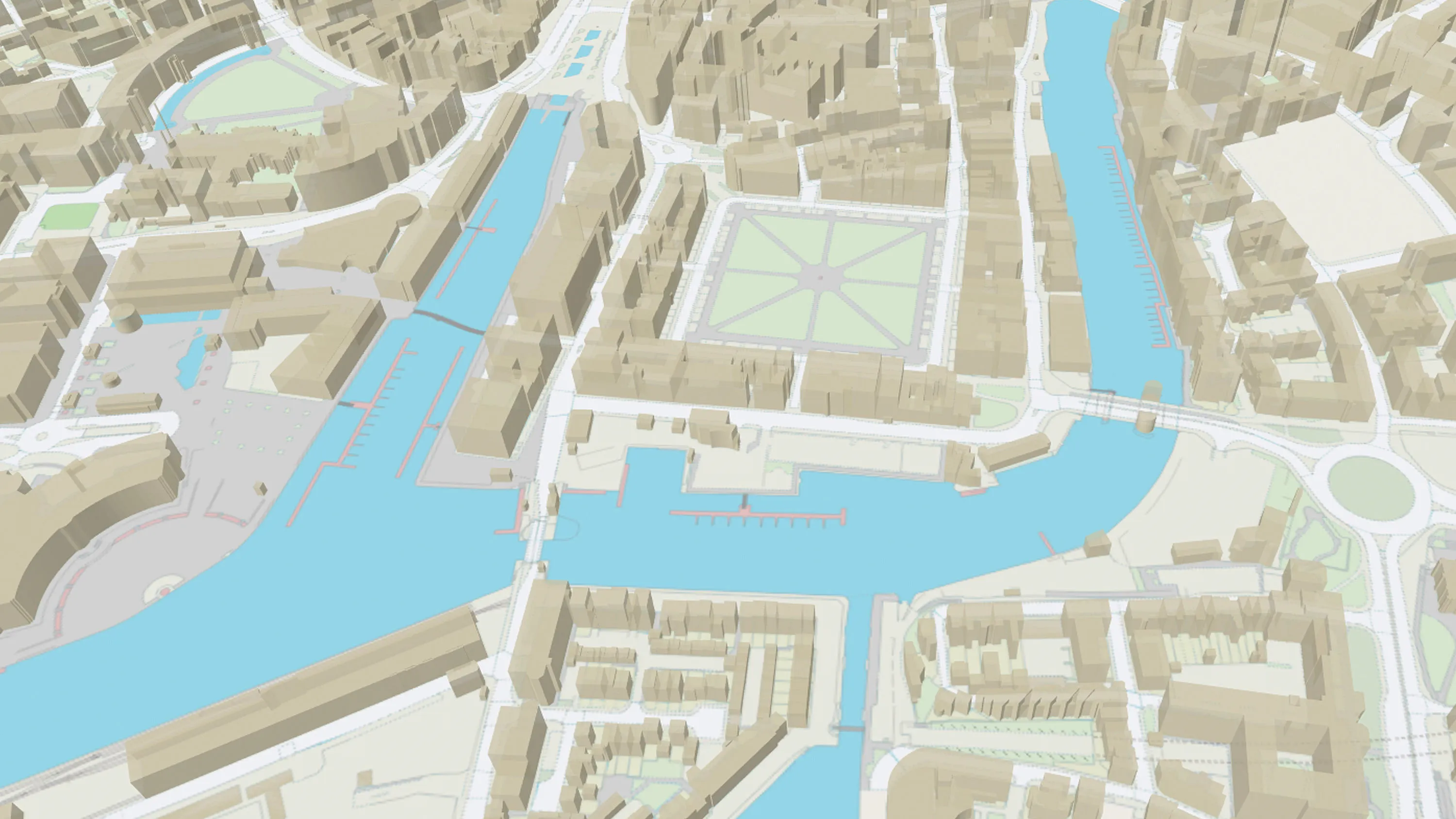
OS MasterMap Topography Layer is a dataset showing building heights for Great Britain.

Our comprehensive list of structure features - manmade constructs that are not buildings: dams, bridges, chimneys, post boxes, and many more.

An open dataset of cross-referenced identifiers between various OS data products.
Perform powerful geospatial analysis. Filter the data to receive exactly what you need, as and when you need it.

Visualise transport features including roads, tracks, railways, and paths across Great Britain. Analyse streetlight coverage to support safe, well-lit, active travel routes.