Search for OS data products
Search below to find the best geospatial data product for you
Filters (1)
- Page 1

OS Open Greenspace is Britain’s most comprehensive Open dataset of greenspace. Find the location of public parks, sports facilities, play areas, allotments and more.

OS MasterMap Sites Layer is a nationally maintained view of the detailed extents of locations like airports, schools, hospitals, utility and more.
Access the relationships between properties, streets and OS MasterMap identifiers for free.
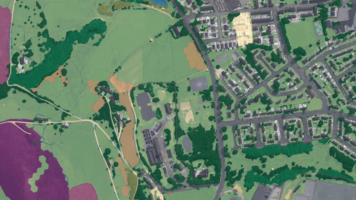
An aggregate of OS data, third-party land cover, and ecological datasets to assess and monitor land cover of the natural habitats within England.
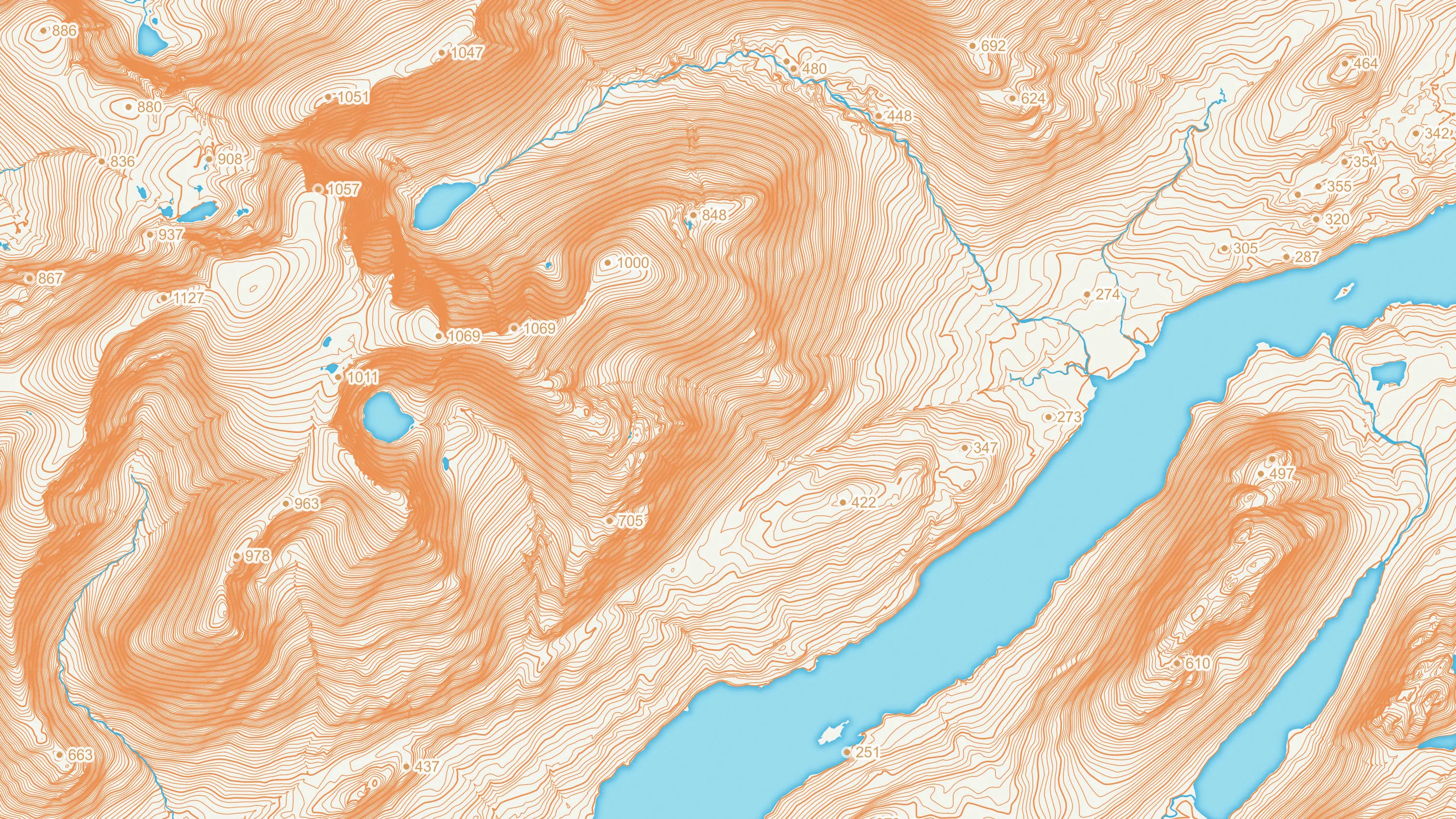
OS Terrain 5 is a detailed digital terrain model (DTM) of Great Britain.
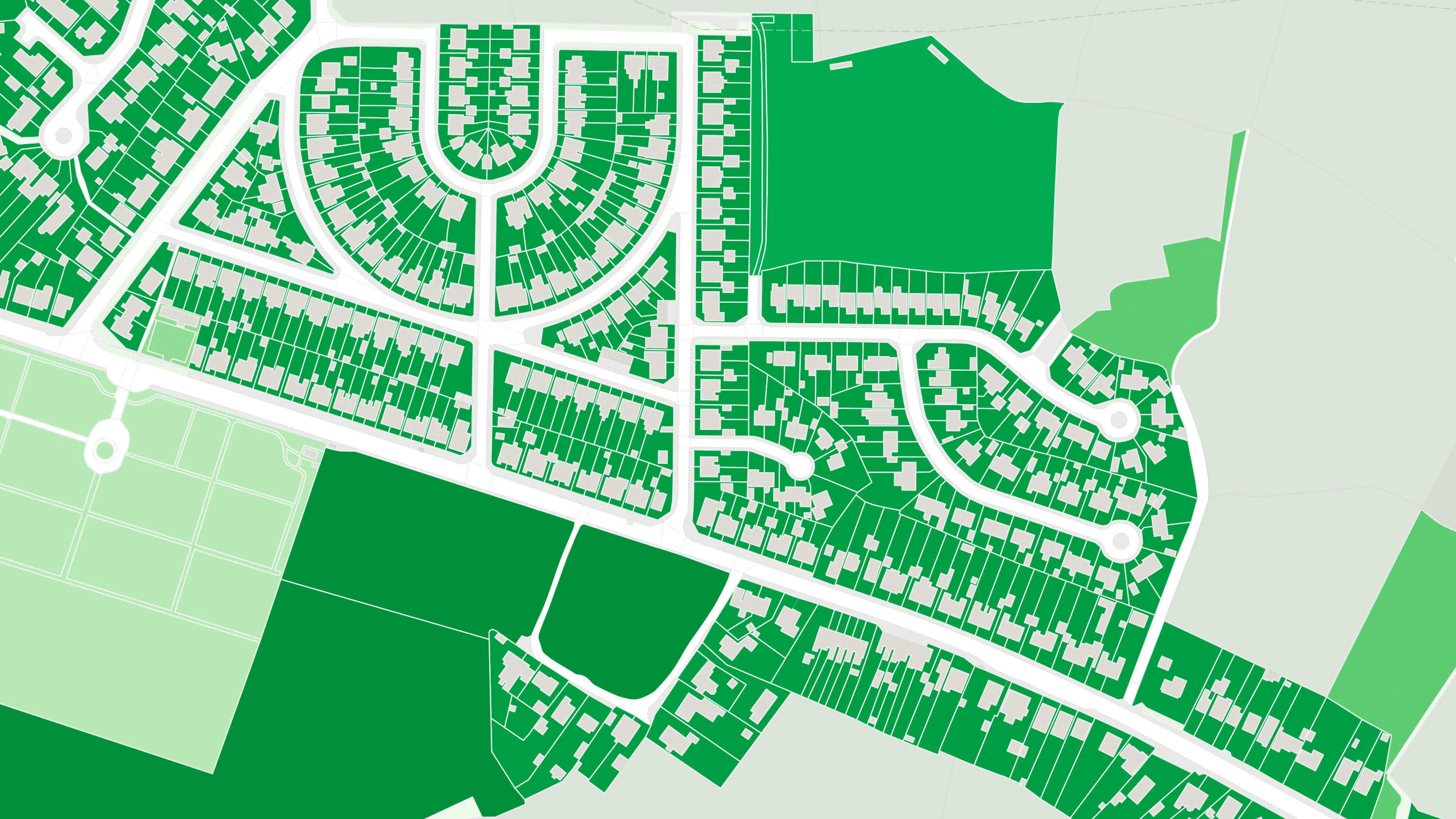
OS MasterMap Greenspace Layer is a detailed dataset of the greenspaces within an urban area for Great Britain.

Visualise and analyse geometric representations of different types of land use, land use sites, and site access data.

Explore detailed land cover data, and visualise the land cover make-up of Great Britain, including both manmade features and natural land features.
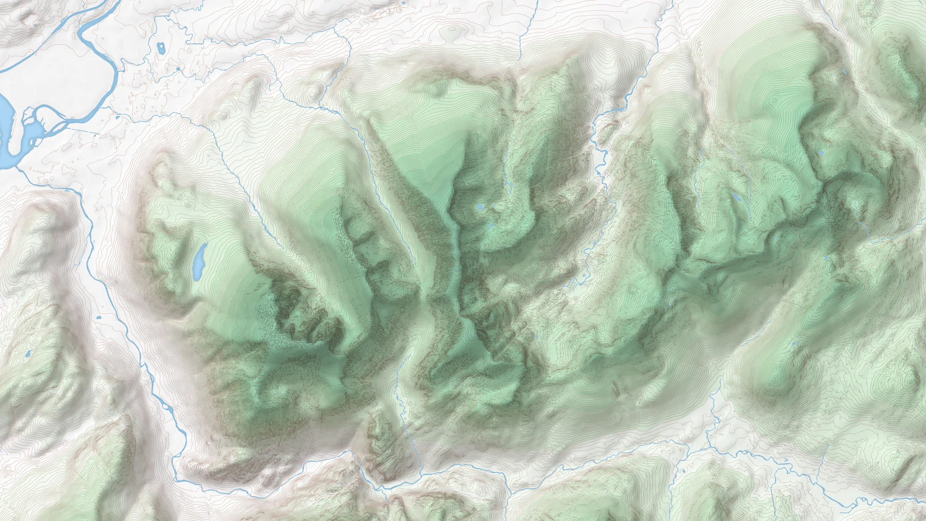
OS Terrain 50 is an open height dataset of contours with spot heights, breaklines, coastline, lakes, ridges and formlines for Great Britain.

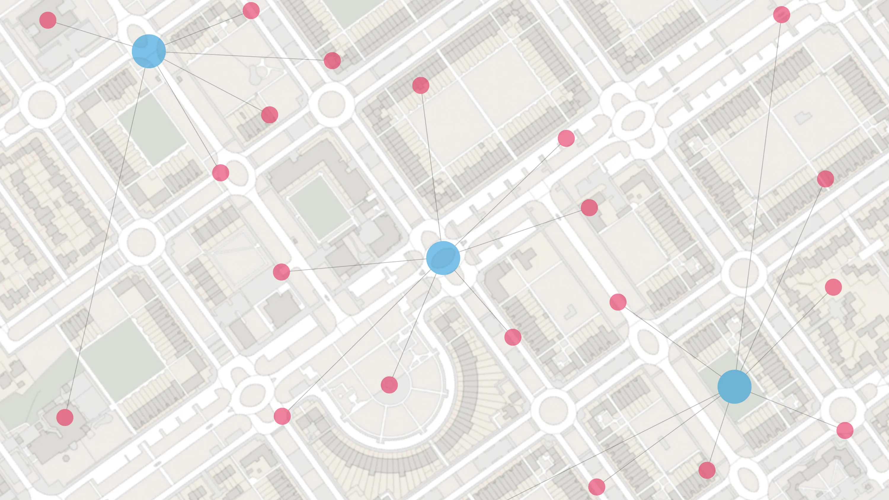
With OS Features API, you can filter Ordnance Survey data for buildings, roads, rivers, hospitals, playing fields, and greenspaces.