Search for OS data products
Search below to find the best geospatial data product for you
Filters (1)
- Page 1
OS Maps API offers the most convenient way to add detailed OS data to your application. Benefit from unrivalled levels of detail in your GIS, web or mobile app.
OS OpenMap Local is an open dataset of detailed, street-level mapping of Great Britain.
A vector tile service providing detailed Ordnance Survey data as a customisable basemap.
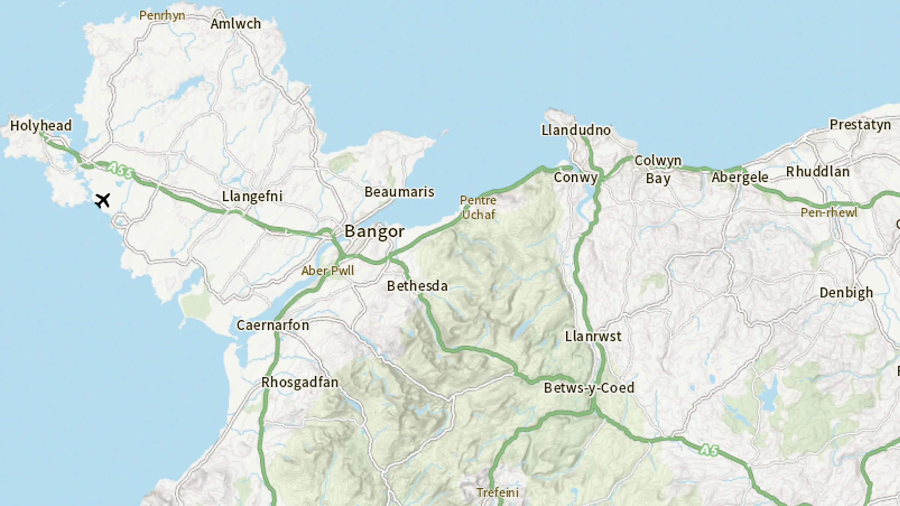
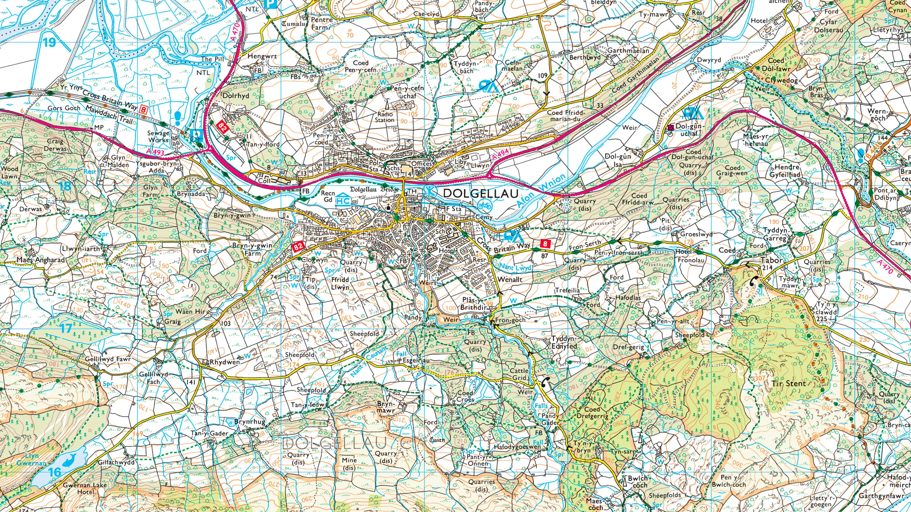
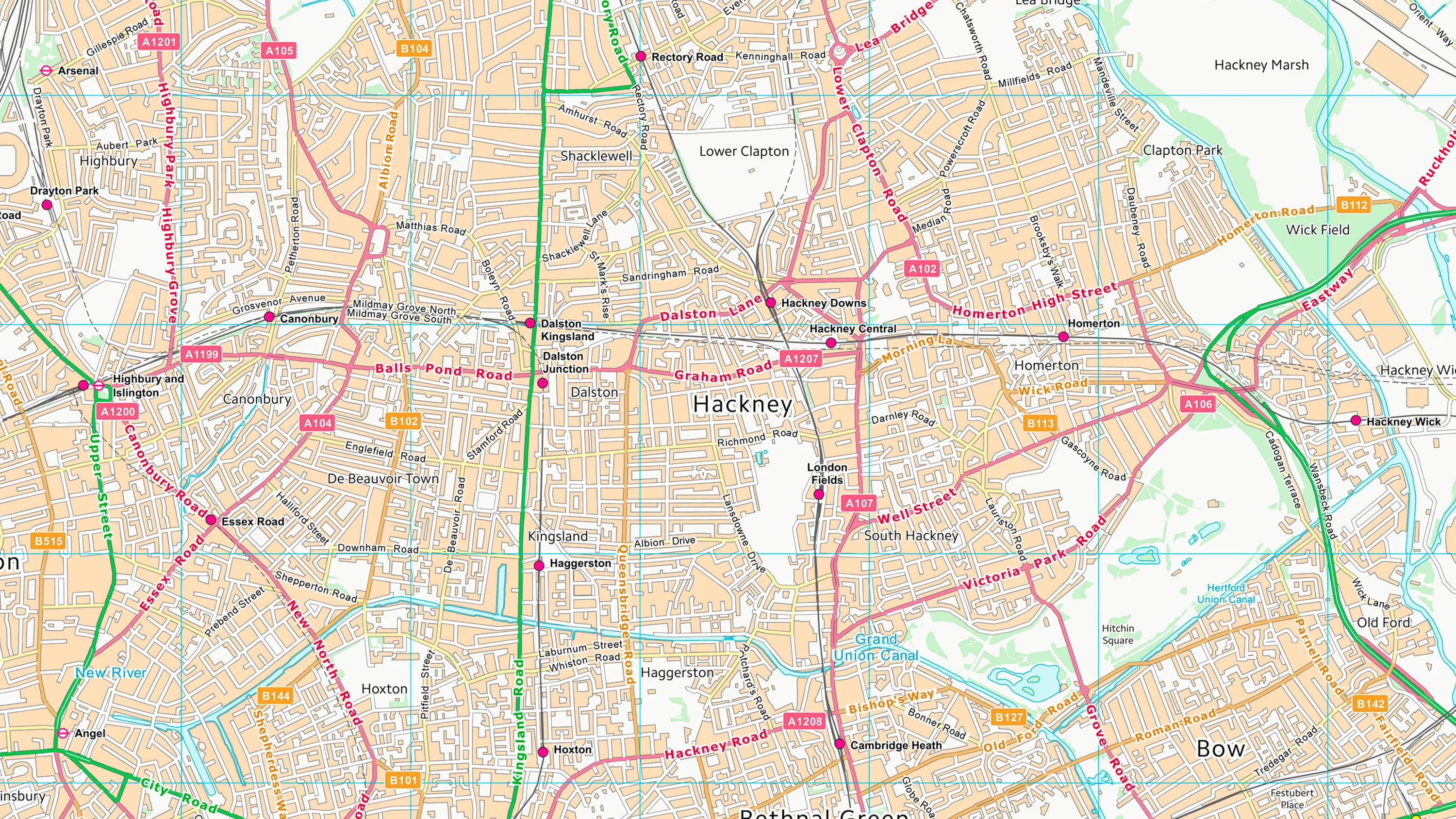
OS VectorMap Local is a highly-detailed, customisable, street-level map, showing fences, building outlines, paths and street names.
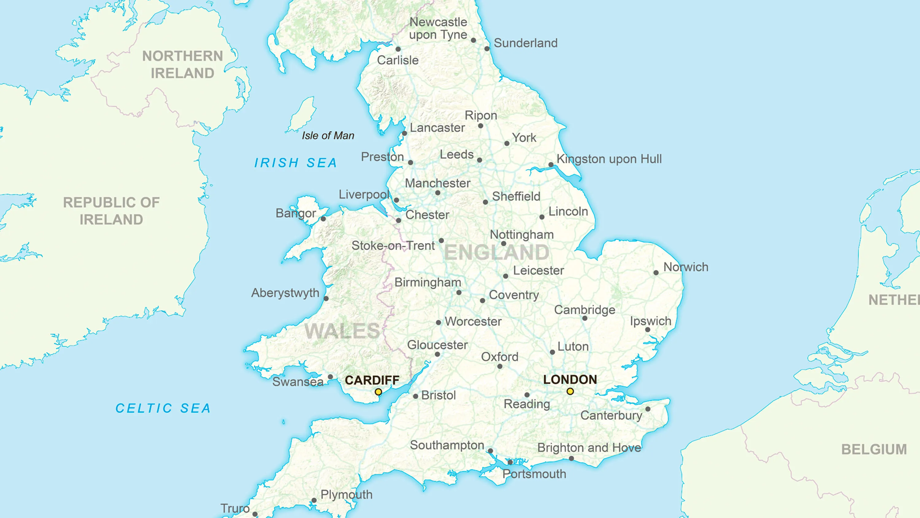
Ordnance Survey's GB Overview Maps is an open overview map of Great Britain.

OS 3D Mesh is a product providing a photorealistic 3D representation of the surface of the Earth and features above it, such as buildings, roads, and vegetation.
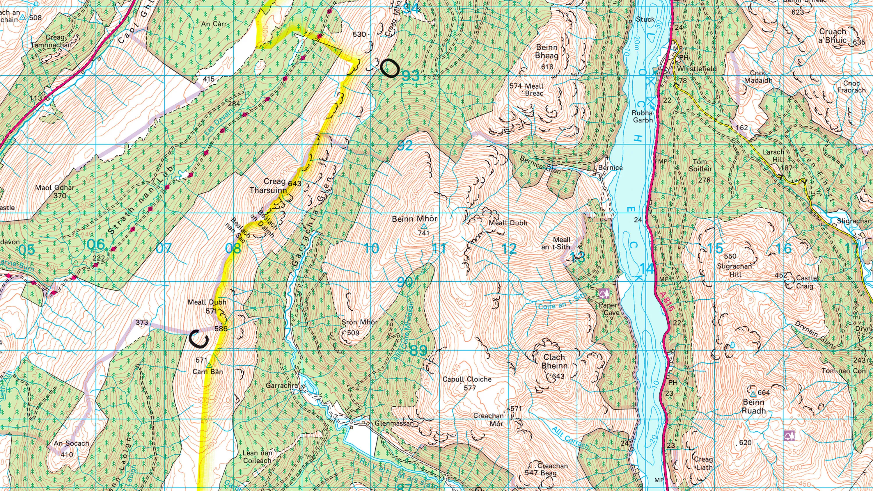
1:50 000 Scale Colour Raster is the digital alternative to Ordnance Survey's OS Landranger paper map series for Great Britain.
1:25 000 Scale Colour Raster is the digital alternative to Ordnance Survey's OS Explorer paper map series for Great Britain.
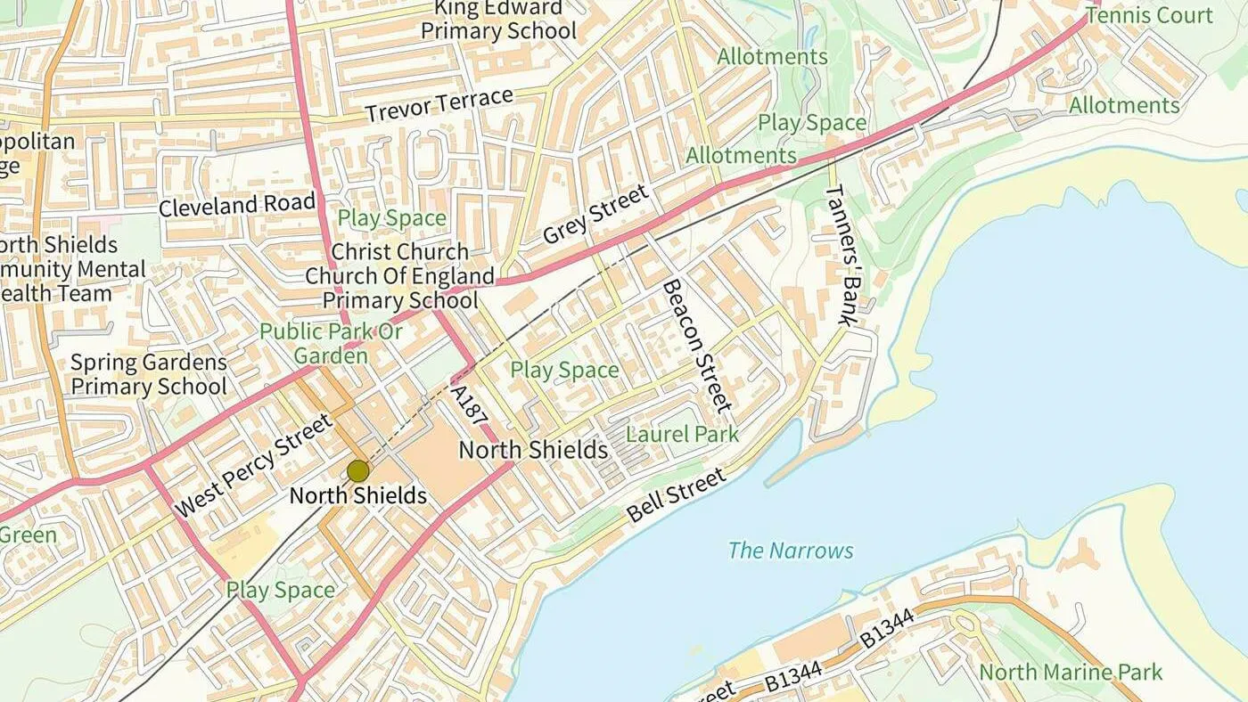
Ordnance Survey's OS Open Zoomstack is an open vector basemap showing coverage of Great Britain from a national level, right down to street detail.
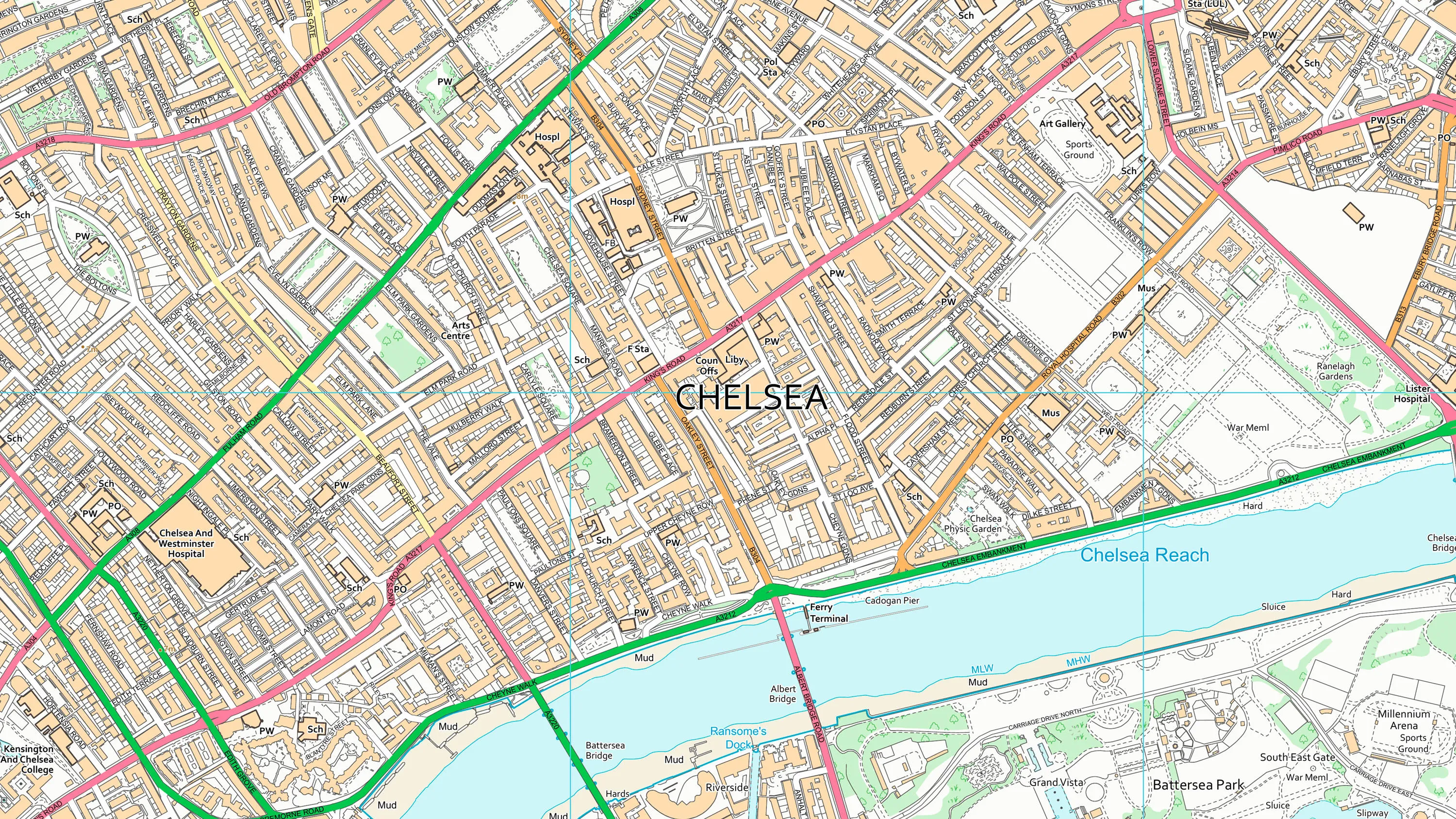
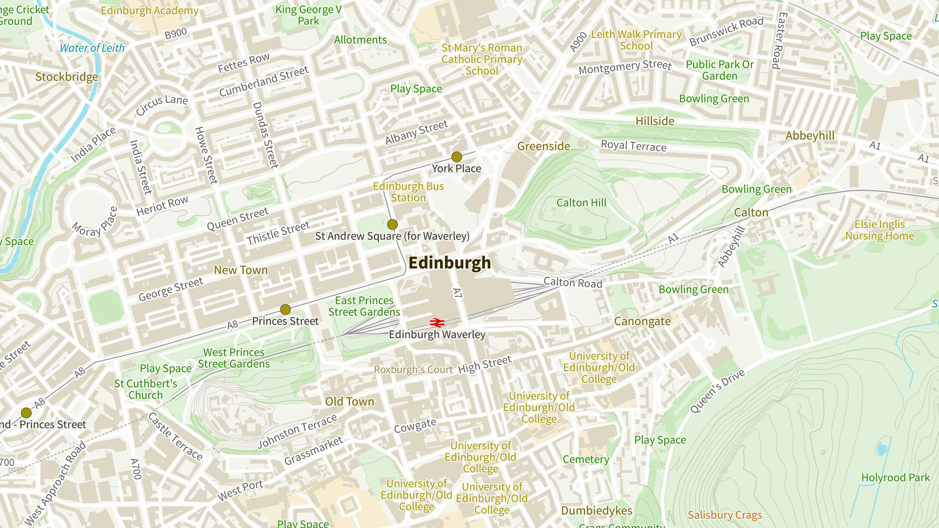
OS VectorMap District is an open basemap to overlay and visualise your own information on.
Ordnance Survey's MiniScale is an open national backdrop map of Great Britain.
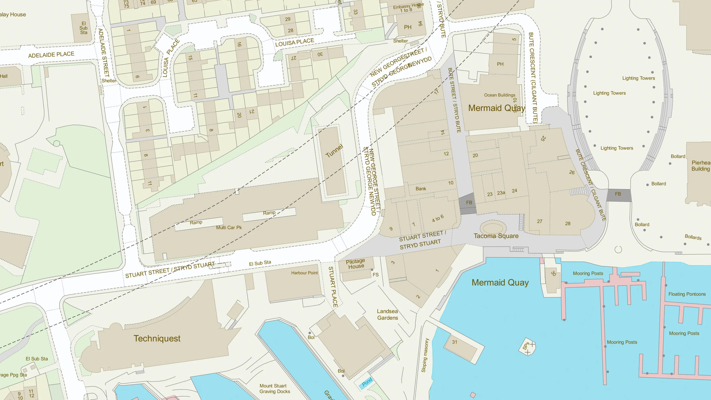
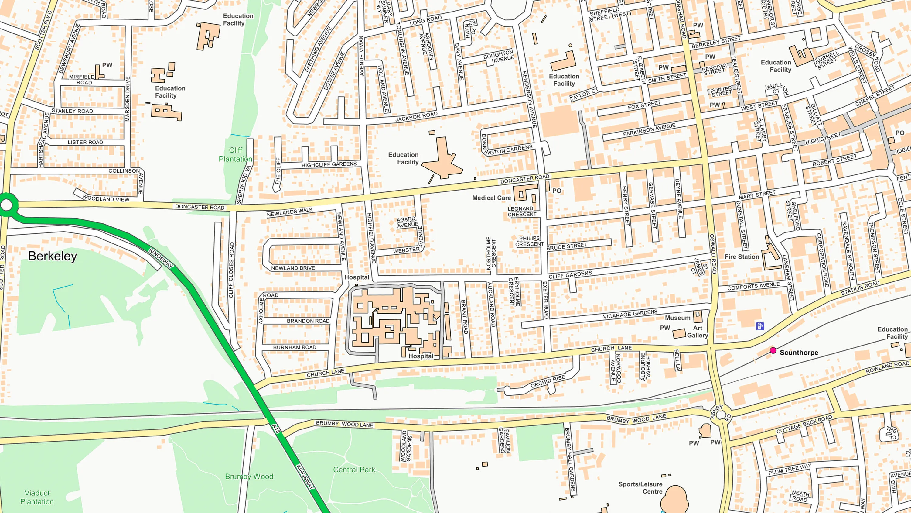
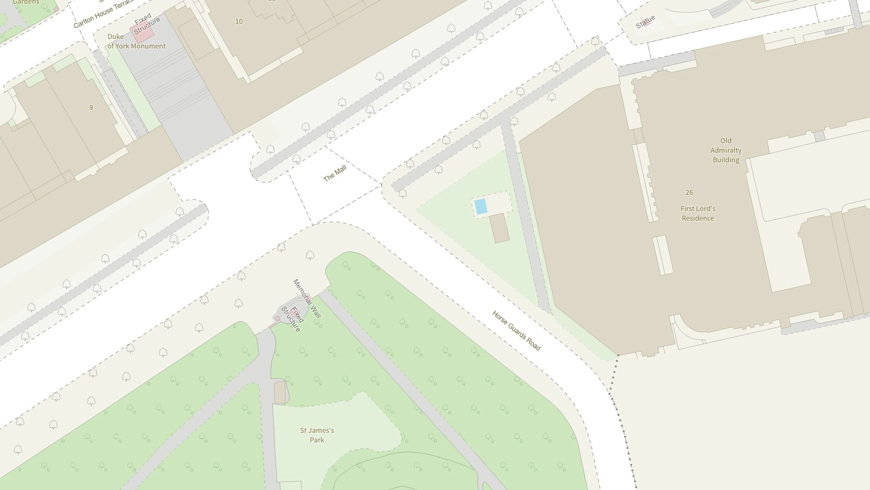
OS MasterMap Topography layer provides a map dataset of Great Britain's landscape – from roads to fields, to buildings and trees, fences, paths and more.
Create beautiful, responsive, and interactive vector maps powered by the OS National Geographic Database (OS NGD).
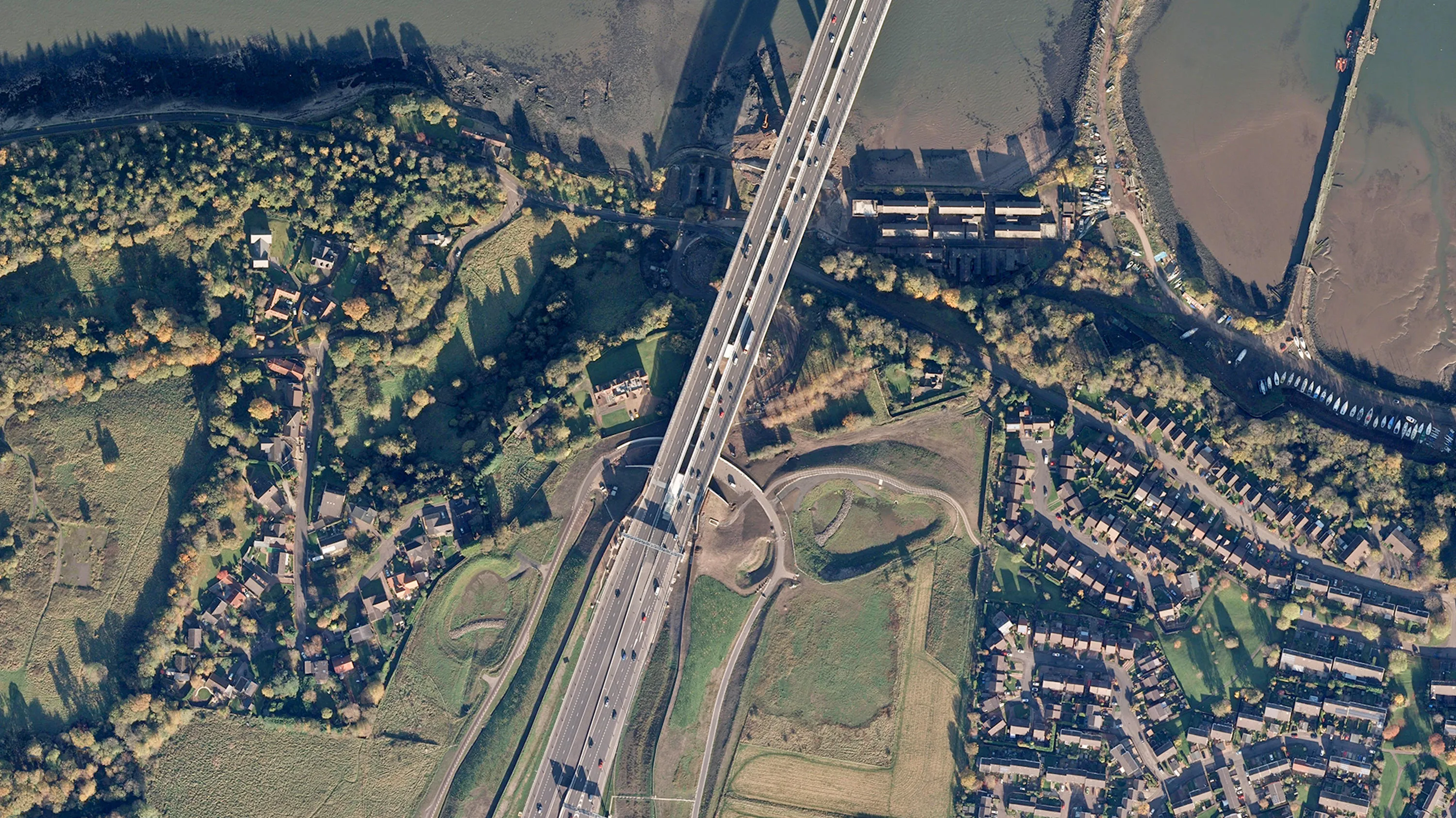
Digital colour-balanced and corrected for geometric distortions (orthorectified) aerial photography for Great Britain.
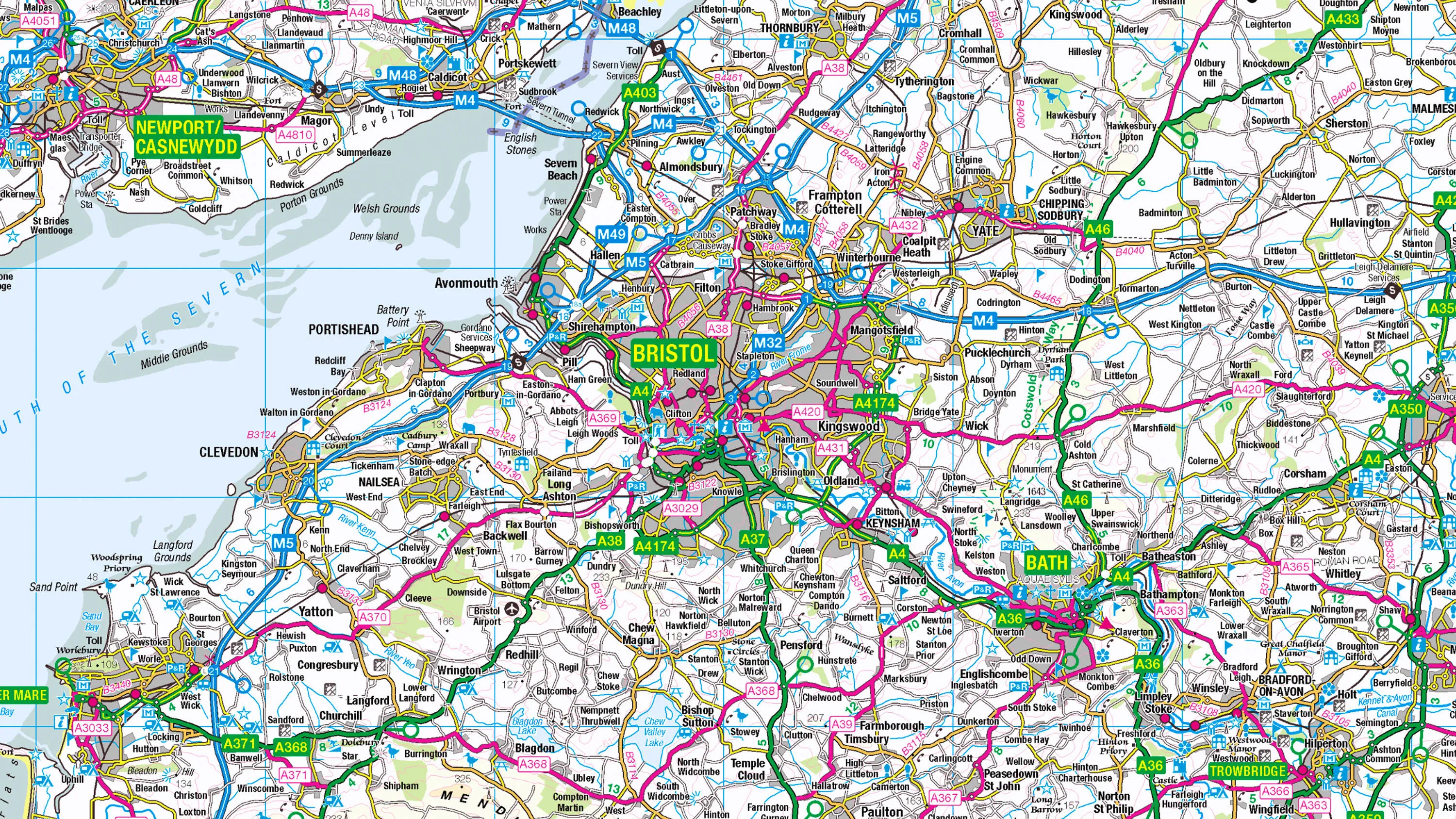
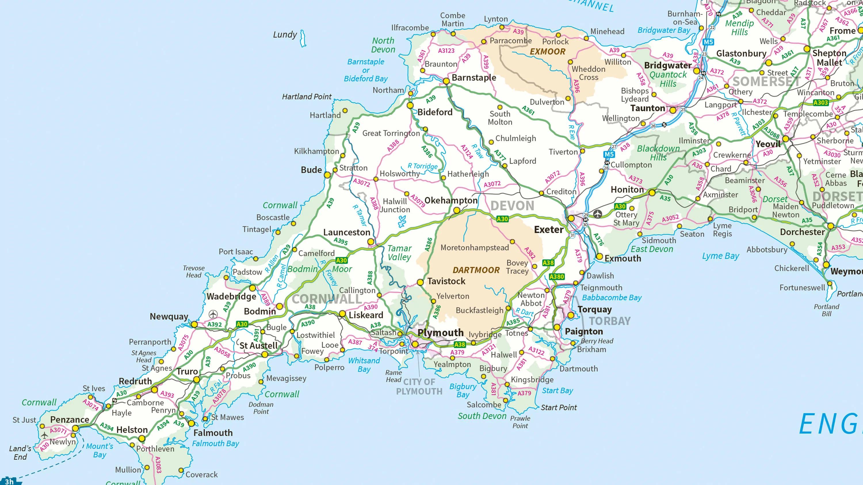
1:250 000 Scale Colour Raster is an open dataset of the regional view of towns and villages, roads and places of interest.